Transport Functions
Rail
Road
Hub Profile
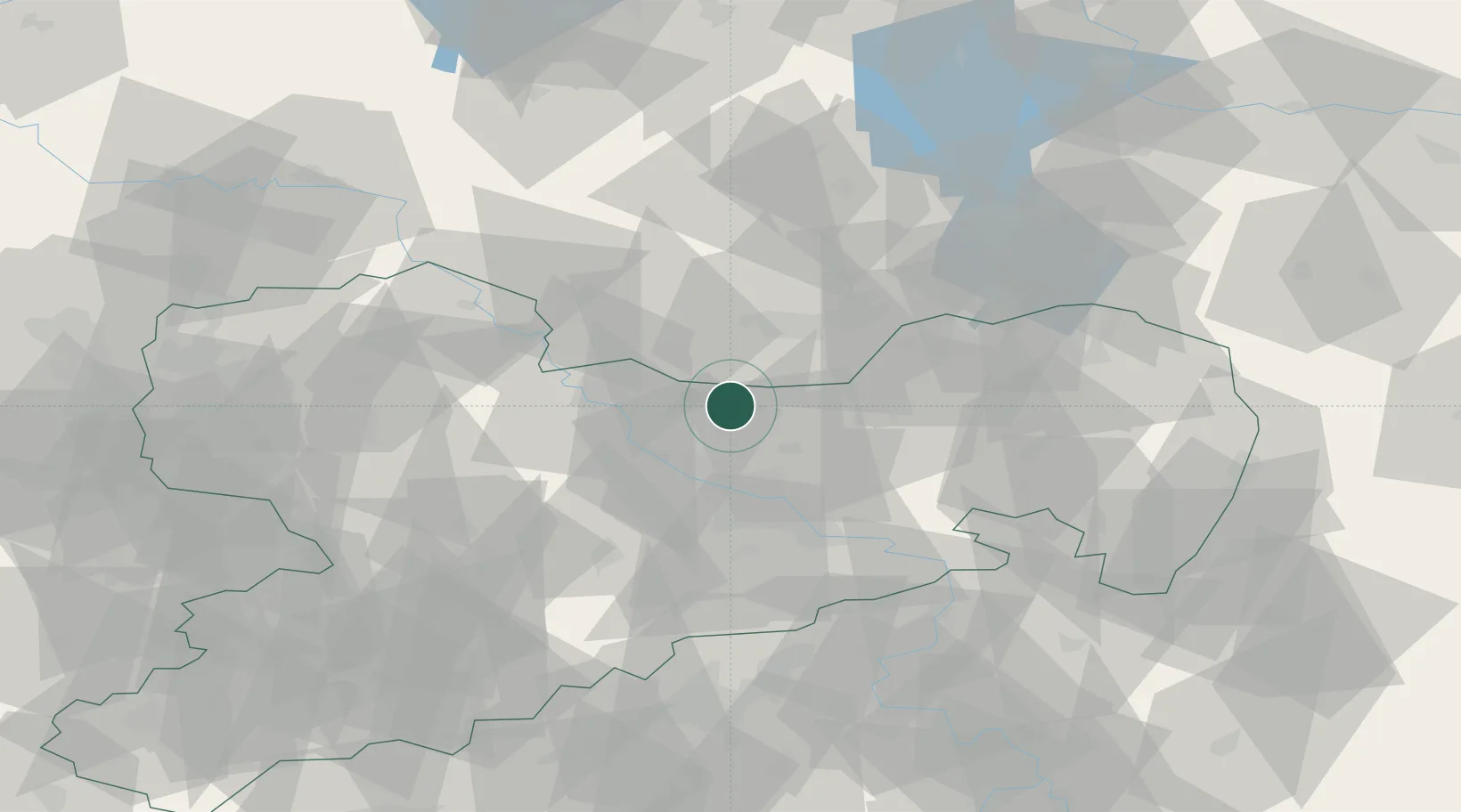
Place type
Local administrative seat
Region
Saxony
Population
2,060
Time zone
Europe/Berlin
Elevation
159 m
Location
Nearby Logistics Neighbours
Cities
- 1Schönfeld2 km
- 2Radeburg10 km
- 3Ortrand11 km
- 4Niederau (Meisharpen)16 km
- 5Laussnitz16 km
Ports
- 1Szczecin243 km
- 2Police259 km
- 3Swinoujscie294 km
- 4Wolgast306 km
- 5Wismar325 km
Airports
- 1Dresden Airport20 km
- 2Holzdorf Air Base62 km
- 3Leipzig–Altenburg Airport88 km
- 4Rothenburg/Görlitz Airfield89 km
- 5Leipzig/Halle Airport101 km
Trade Zones
DatabookThe Record of Consolidated Knowledge
Germany beyond logistics?