UN/LOCODE hub · Germany
DEZEC

Eckental

49.5667°, 11.1833°
1
Transport functions

Transport Functions

Multimodal
UN/LOCODE

Hub Profile

Region
BY
GeoNames

Location

Location of DEZEC
Natural Earth 10m (public domain) · BY · DEZEC · 49.57, 11.18GoogleOSMYandex

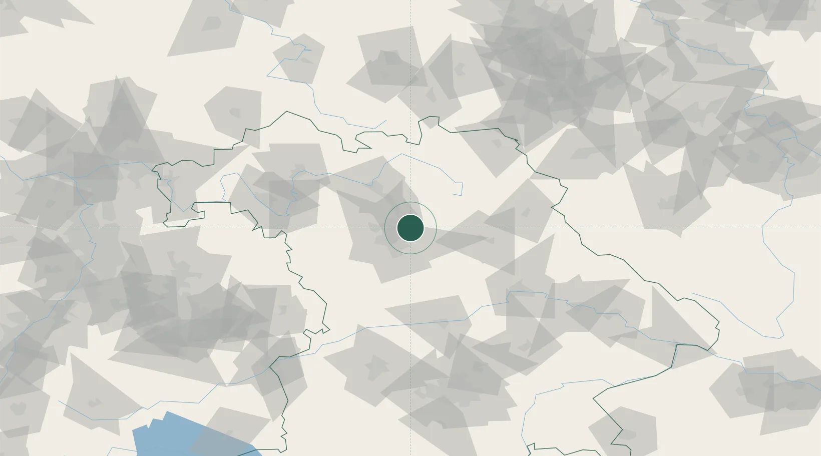
Nearby Logistics Neighbours

Cities
  1. 1Heroldsberg4 km
  2. 2Lauf an der Pegnitz9 km
  3. 3Röthenbach an der Pegnitz10 km
  4. 4Schnaittach11 km
  5. 5Effeltrich11 km
Nearest neighbours — logibook spatial index (haversine) over the source coordinates
Ports
  1. 1Bremen431 km
  2. 2Oldenburg445 km
  3. 3Nogaro449 km
  4. 4Elsfleth449 km
  5. 5Hamburg451 km
Nearest neighbours — logibook spatial index (haversine) over the source coordinates
Airports
  1. 1Nuremberg Airport11 km
  2. 2Bamberg-Breitenau Airfield44 km
  3. 3Grafenwöhr Army Air Field57 km
  4. 4Bayreuth Airport57 km
  5. 5Hohenfels Army Airfield61 km
Nearest neighbours — logibook spatial index (haversine) over the source coordinates
Trade Zones
  1. 1Freeport of Deggendorf148 km
  2. 2Podbořany Industrial Zone175 km
  3. 3Žatec - Triangle Strategic Industrial Zone191 km
  4. 4Most - Joseph Industrial Zone203 km
  5. 5ZFU Neuhof274 km
Nearest neighbours — logibook spatial index (haversine) over the source coordinates
DatabookThe Record of Consolidated Knowledge
Germany beyond logistics?
Browse databook

All Sources

LocationsUN/LOCODE
UN/LOCODE — free
Portsthe NGA World Port Index
Public domain (US gov)
AirportsOurAirports
Public domain
Trade Zonesthe World Bank SEZ database
CC BY 4.0
Trade ZonesOpen Zone Map
CC BY
← Germany locations