Transport Functions
Rail
Road
Hub Profile
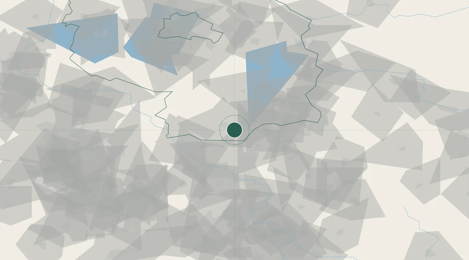
Place type
Populated place
Region
Brandenburg
Population
4,083
Time zone
Europe/Berlin
Elevation
101 m
Location
Nearby Logistics Neighbours
Cities
- 1Lauchhammer6 km
- 2Guteborn7 km
- 3Hohenbocka10 km
- 4Senftenberg12 km
- 5Ortrand13 km
Ports
- 1Szczecin222 km
- 2Police238 km
- 3Swinoujscie274 km
- 4Wolgast287 km
- 5Rostock315 km
Airports
- 1Dresden Airport38 km
- 2Holzdorf Air Base59 km
- 3Rothenburg/Görlitz Airfield76 km
- 4Berlin Brandenburg Airport103 km
- 5Leipzig–Altenburg Airport109 km
Trade Zones
DatabookThe Record of Consolidated Knowledge
Germany beyond logistics?