Transport Functions
Rail
Road
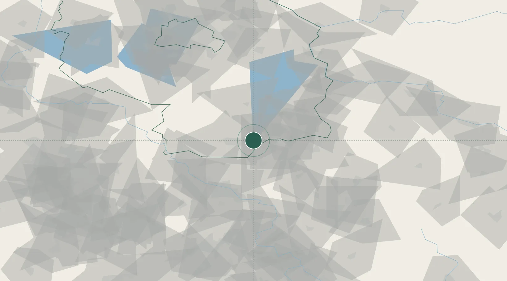
Hub Profile
Place type
District seat
Region
Brandenburg
Population
28,988
Time zone
Europe/Berlin
Elevation
104 m
Location
Nearby Logistics Neighbours
Cities
- 1Grosskoschen3 km
- 2Grossräschen8 km
- 3Hohenbocka9 km
- 4Ruhland12 km
- 5Guteborn13 km
Ports
- 1Szczecin214 km
- 2Police231 km
- 3Swinoujscie267 km
- 4Wolgast282 km
- 5Rostock314 km
Airports
- 1Dresden Airport46 km
- 2Holzdorf Air Base65 km
- 3Rothenburg/Görlitz Airfield67 km
- 4Berlin Brandenburg Airport100 km
- 5Leipzig–Altenburg Airport121 km
Trade Zones
DatabookThe Record of Consolidated Knowledge
Germany beyond logistics?