Transport Functions
Port
Rail
Road
Hub Profile
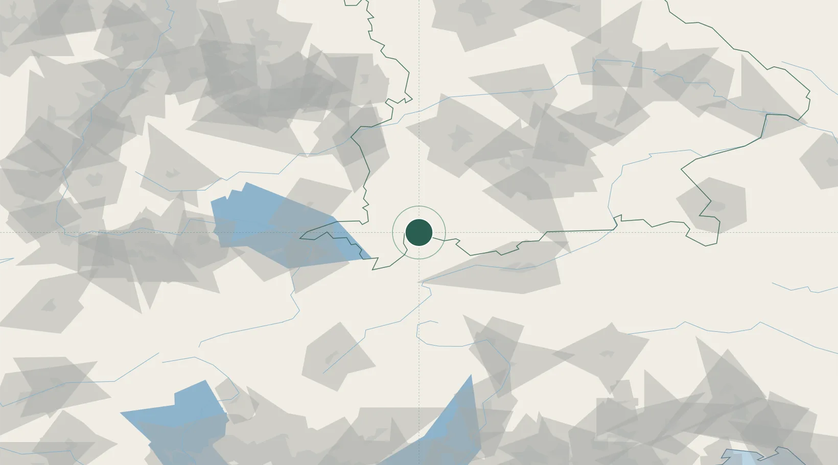
Place type
Local administrative seat
Region
Bavaria
Population
7,890
Time zone
Europe/Berlin
Elevation
867 m
Location
Nearby Logistics Neighbours
Cities
- 1Hopfen Am See10 km
- 2Rieden am Forggensee13 km
- 3Hohenschwangau14 km
- 4Rosshaupten15 km
- 5Lechaschau16 km
Ports
- 1Porto Di Lido-Venezia281 km
- 2Nogaro285 km
- 3Porto Di Chioggia294 km
- 4Grado297 km
- 5Monfalcone304 km
Airports
- 1Memmingen Allgau Airport51 km
- 2Innsbruck Airport70 km
- 3Lechfeld Air Base71 km
- 4Sankt Gallen Altenrhein Airport75 km
- 5Oberpfaffenhofen Airport78 km
Trade Zones
- 1Livigno Free Trade Zone122 km
- 2Freeport of Deggendorf224 km
- 3Magazzini Generali Con Chiasso229 km
- 4ZFU Neuhof233 km
- 5ZFU Hautepierre240 km
DatabookThe Record of Consolidated Knowledge
Germany beyond logistics?