Transport Functions
Road
Multimodal
Hub Profile
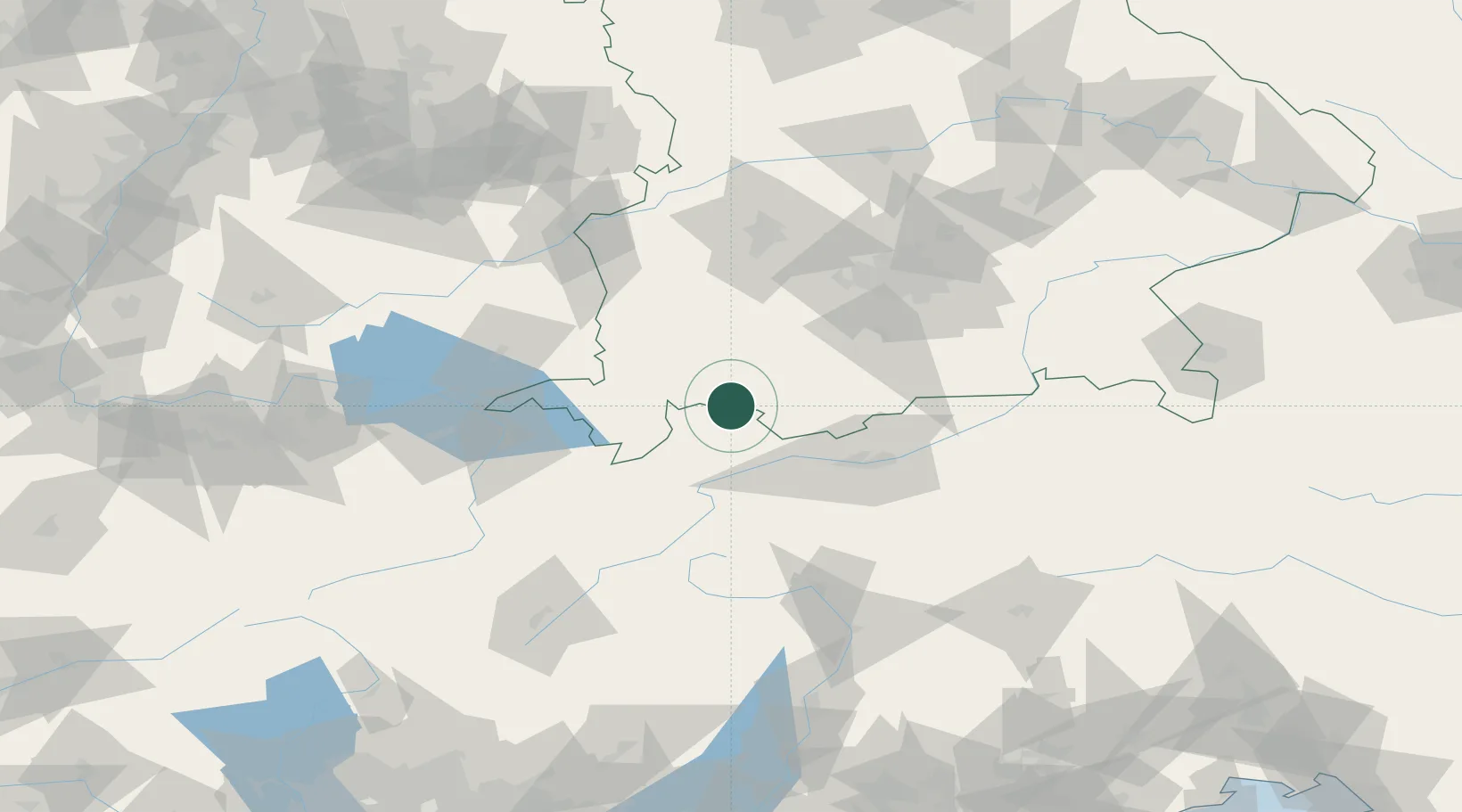
Place type
Populated place
Region
Bavaria
Population
1,000
Time zone
Europe/Berlin
Elevation
807 m
Location
Nearby Logistics Neighbours
Cities
- 1Rieden am Forggensee4 km
- 2Hopfen Am See7 km
- 3Lechaschau8 km
- 4Rosshaupten11 km
- 5Pfronten14 km
Ports
- 1Porto Di Lido-Venezia271 km
- 2Nogaro272 km
- 3Porto Di Chioggia284 km
- 4Grado284 km
- 5Monfalcone291 km
Airports
- 1Innsbruck Airport56 km
- 2Memmingen Allgau Airport61 km
- 3Lechfeld Air Base71 km
- 4Oberpfaffenhofen Airport72 km
- 5Sankt Gallen Altenrhein Airport88 km
Trade Zones
- 1Livigno Free Trade Zone123 km
- 2Freeport of Deggendorf216 km
- 3Magazzini Generali Con Chiasso233 km
- 4ZFU Neuhof247 km
- 5ZFU Hautepierre254 km
DatabookThe Record of Consolidated Knowledge
Germany beyond logistics?