Transport Functions
Road
Multimodal
Hub Profile
Place type
Populated place
Region
Bavaria
Time zone
Europe/Berlin
Elevation
819 m
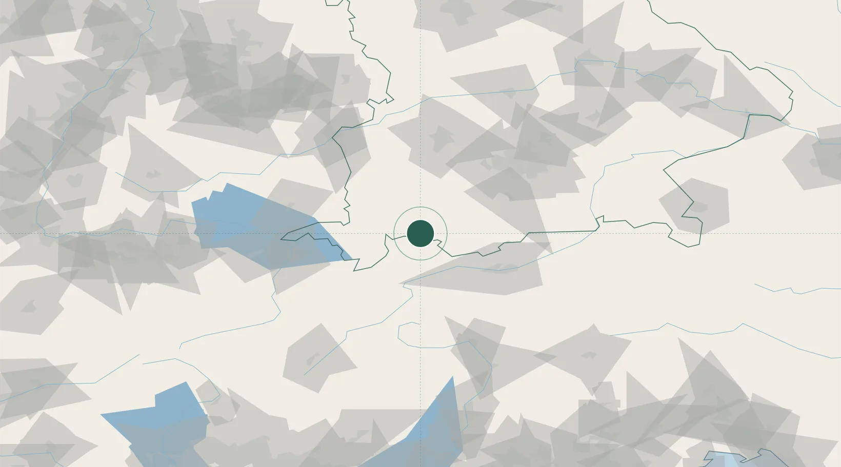
Location
Nearby Logistics Neighbours
Cities
- 1Hopfen Am See3 km
- 2Hohenschwangau4 km
- 3Rosshaupten7 km
- 4Lechaschau11 km
- 5Pfronten13 km
Ports
- 1Porto Di Lido-Venezia274 km
- 2Nogaro276 km
- 3Grado288 km
- 4Porto Di Chioggia288 km
- 5Monfalcone295 km
Airports
- 1Memmingen Allgau Airport58 km
- 2Innsbruck Airport59 km
- 3Lechfeld Air Base68 km
- 4Oberpfaffenhofen Airport70 km
- 5Sankt Gallen Altenrhein Airport88 km
Trade Zones
- 1Livigno Free Trade Zone126 km
- 2Freeport of Deggendorf215 km
- 3Magazzini Generali Con Chiasso236 km
- 4ZFU Neuhof244 km
- 5ZFU Hautepierre251 km
DatabookThe Record of Consolidated Knowledge
Germany beyond logistics?