Transport Functions
Rail
Road
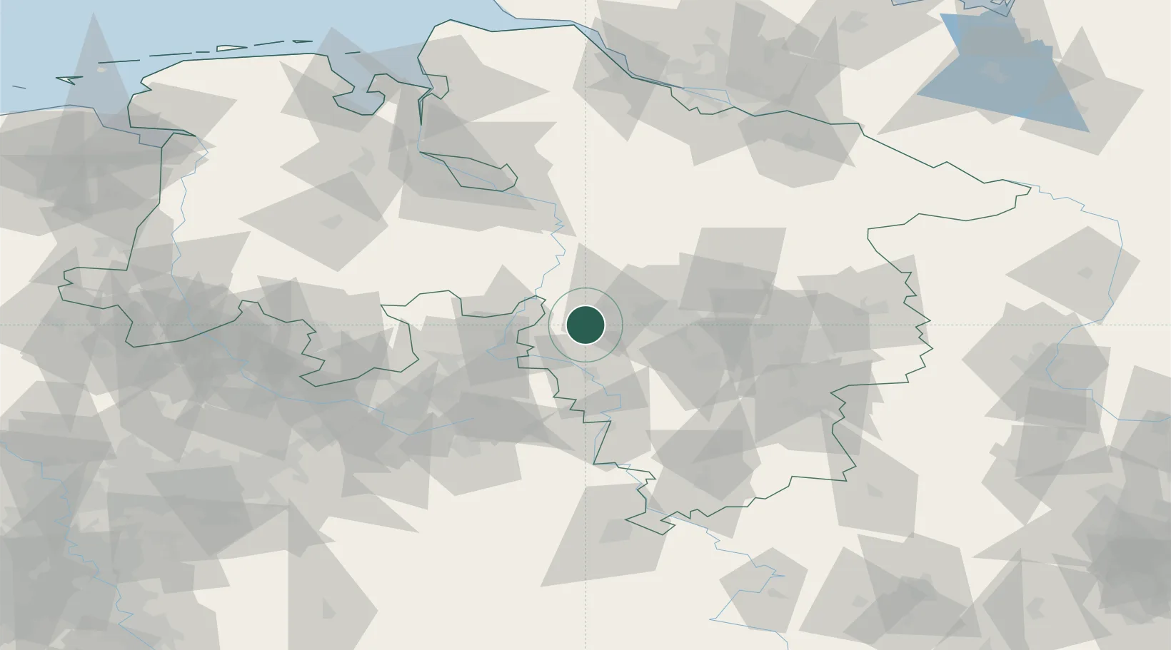
Hub Profile
Place type
Populated place
Region
Lower Saxony
Time zone
Europe/Berlin
Elevation
60 m
Location
Nearby Logistics Neighbours
Cities
- 1Kolenfeld9 km
- 2Hagenburg9 km
- 3Barsinghausen10 km
- 4Pollhagen10 km
- 5Stadthagen10 km
Airports
- 1Wunstorf Air Base14 km
- 2Bückeburg Air Base19 km
- 3Hannover Airport27 km
- 4Celle Army Airfield54 km
- 5Bielefeld Airport69 km
Trade Zones
DatabookThe Record of Consolidated Knowledge
Germany beyond logistics?