Transport Functions
Road
Multimodal
Hub Profile
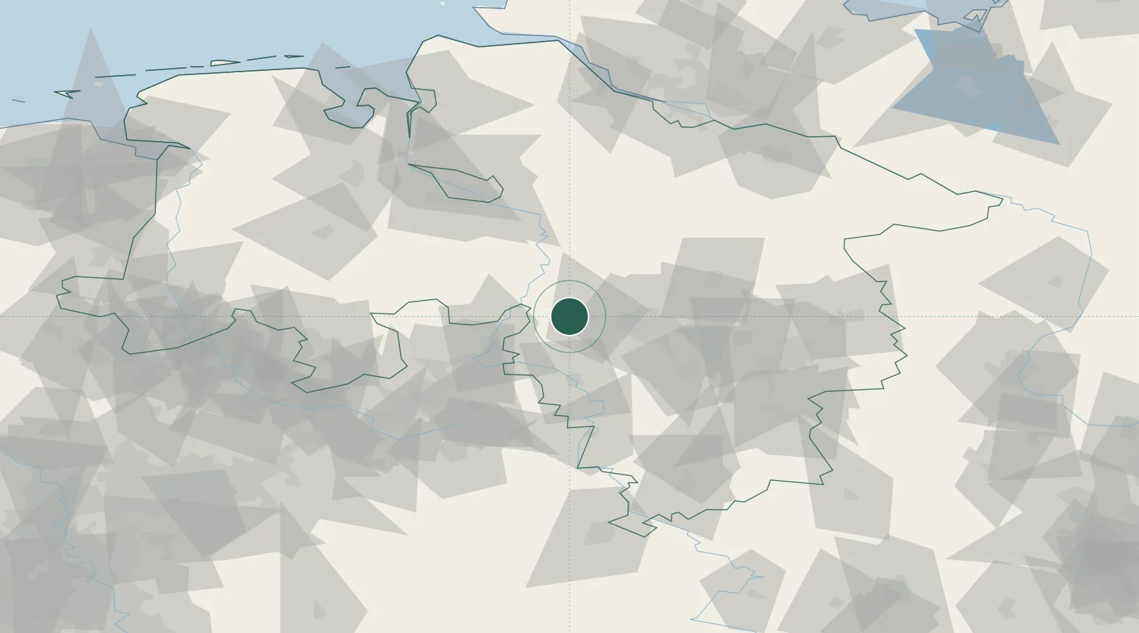
Place type
Populated place
Region
Lower Saxony
Population
4,569
Time zone
Europe/Berlin
Elevation
42 m
Location
Nearby Logistics Neighbours
Cities
- 1Wunstorf6 km
- 2Riepen9 km
- 3Kolenfeld10 km
- 4Pollhagen11 km
- 5Stadthagen16 km
Airports
- 1Wunstorf Air Base7 km
- 2Hannover Airport24 km
- 3Bückeburg Air Base24 km
- 4Celle Army Airfield50 km
- 5Diepholz Air Base69 km
Trade Zones
DatabookThe Record of Consolidated Knowledge
Germany beyond logistics?