Transport Functions
Port
Road
Hub Profile
Place type
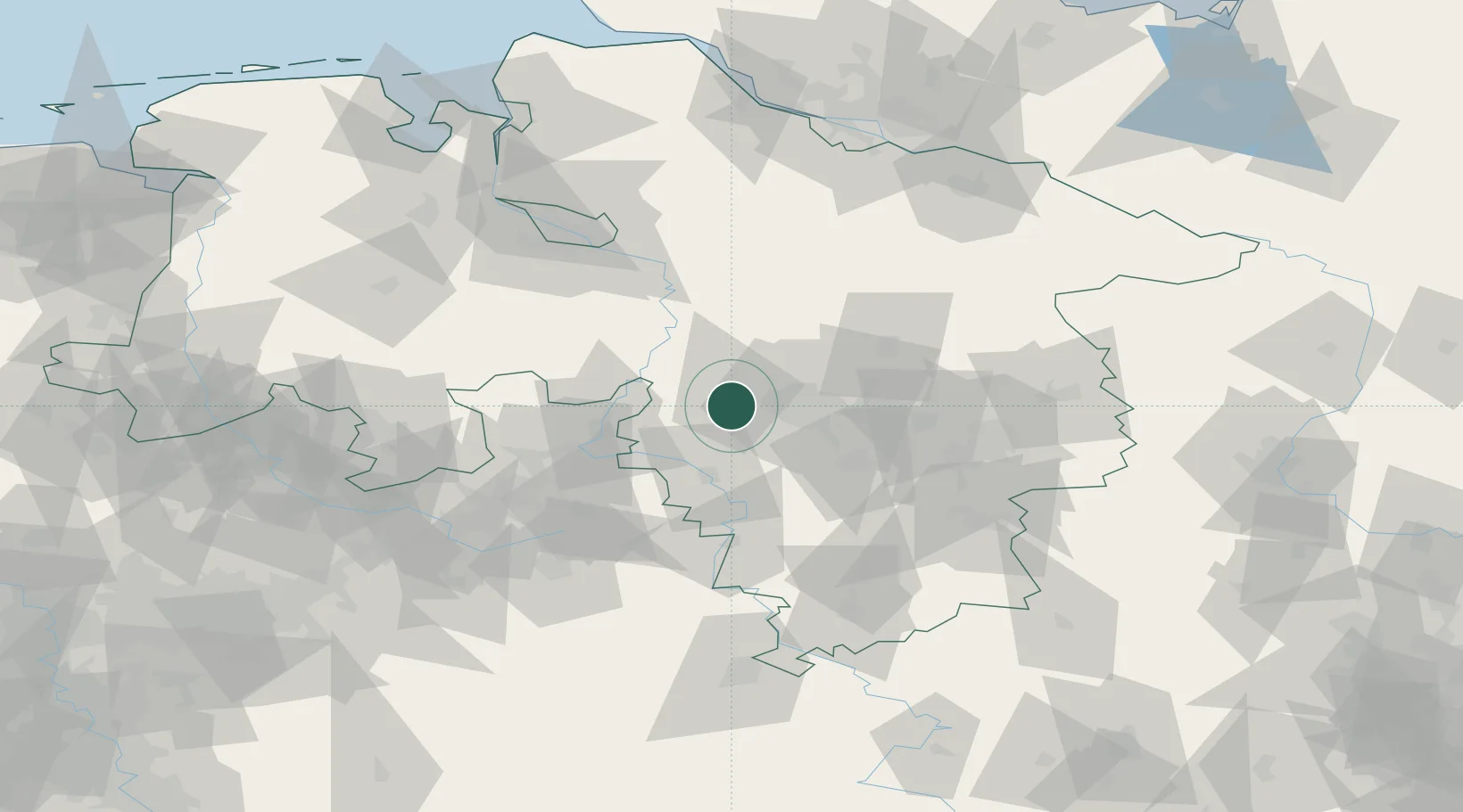
Populated place
Region
Lower Saxony
Time zone
Europe/Berlin
Elevation
51 m
Location
Nearby Logistics Neighbours
Cities
- 1Wunstorf6 km
- 2Riepen9 km
- 3Barsinghausen9 km
- 4Hagenburg10 km
- 5Wennigsen14 km
Airports
- 1Wunstorf Air Base8 km
- 2Hannover Airport18 km
- 3Bückeburg Air Base28 km
- 4Celle Army Airfield45 km
- 5Braunschweig-Wolfsburg Airport76 km
Trade Zones
DatabookThe Record of Consolidated Knowledge
Germany beyond logistics?