Transport Functions
Port
Road
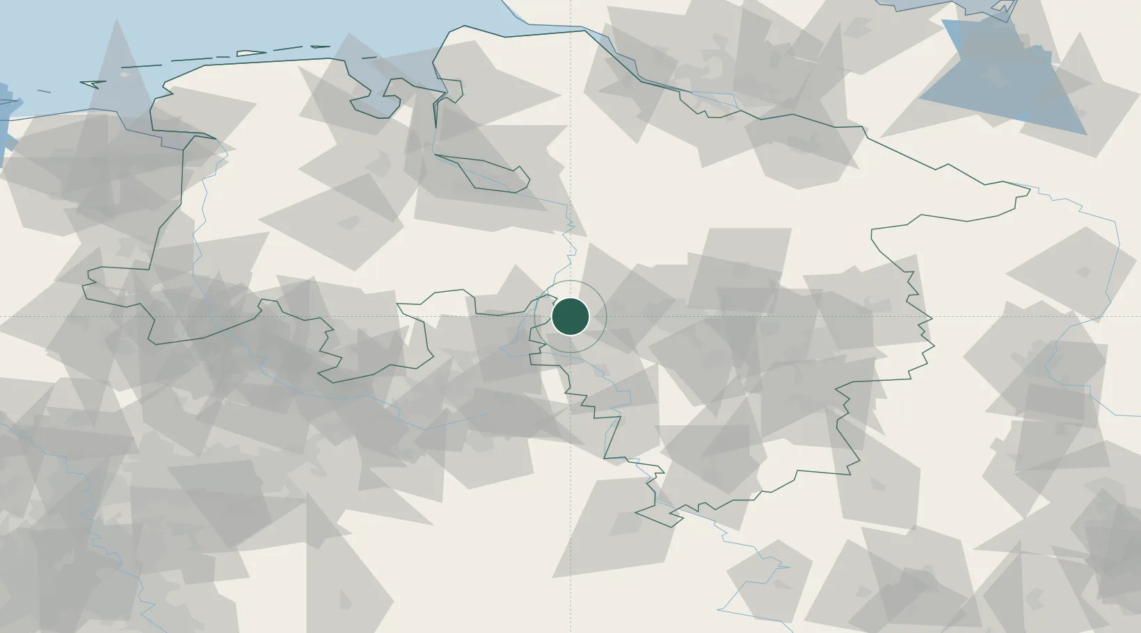
Hub Profile
Place type
Local administrative seat
Region
Lower Saxony
Population
1,242
Time zone
Europe/Berlin
Elevation
52 m
Location
Nearby Logistics Neighbours
Cities
- 1Stadthagen7 km
- 2Nienstädt10 km
- 3Riepen10 km
- 4Hagenburg11 km
- 5Rusbend12 km
Airports
- 1Bückeburg Air Base14 km
- 2Wunstorf Air Base18 km
- 3Hannover Airport34 km
- 4Celle Army Airfield60 km
- 5Diepholz Air Base62 km
Trade Zones
DatabookThe Record of Consolidated Knowledge
Germany beyond logistics?