Transport Functions
Port
Hub Profile
Place type
Populated place
Region
Bavaria
Time zone
Europe/Berlin
Elevation
135 m
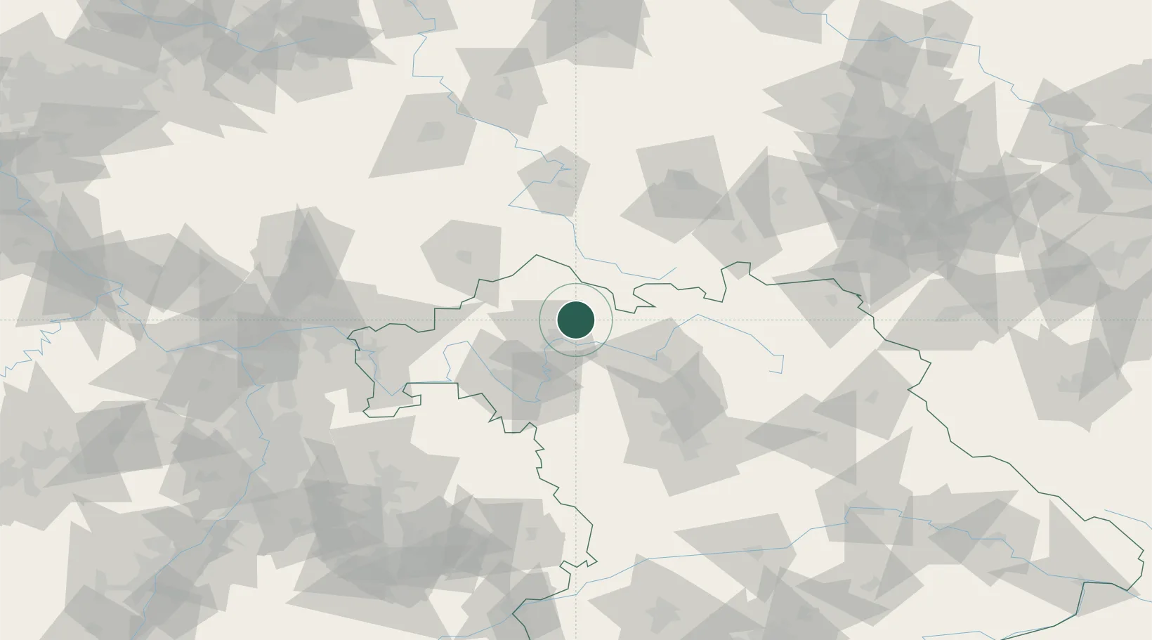
Location
Nearby Logistics Neighbours
Cities
- 1Rannungen11 km
- 2Hofheim in Unterfranken11 km
- 3Oerlenbach17 km
- 4Königsberg in Bayern17 km
- 5Oberwerrn18 km
Airports
- 1Bamberg-Breitenau Airfield48 km
- 2Nuremberg Airport90 km
- 3Niederstetten Army Air Base91 km
- 4Eisenach-Kindel Airport92 km
- 5Bayreuth Airport93 km
Trade Zones
- 1Podbořany Industrial Zone216 km
- 2Žatec - Triangle Strategic Industrial Zone226 km
- 3Freeport of Deggendorf235 km
- 4Most - Joseph Industrial Zone235 km
- 5ZFU Hautepierre261 km
DatabookThe Record of Consolidated Knowledge
Germany beyond logistics?