Transport Functions
Port
Rail
Road
Hub Profile
Place type
Urban district
Region
Lower Saxony
Time zone
Europe/Berlin
Elevation
61 m
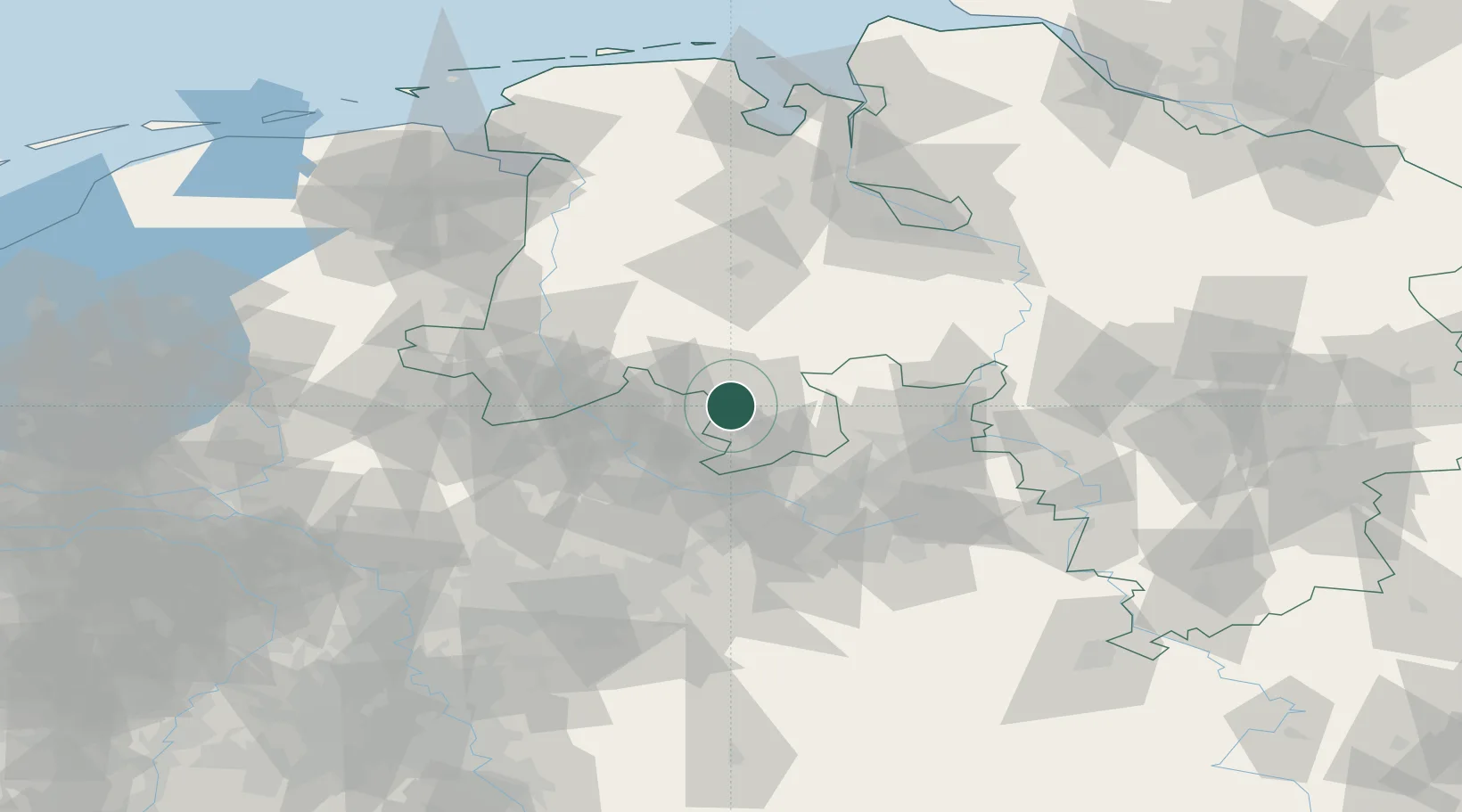
Location
Nearby Logistics Neighbours
Cities
- 1Osnabrück3 km
- 2Belm8 km
- 3Pente8 km
- 4Achmer11 km
- 5Georgsmarienhütte13 km
Airports
- 1Münster Osnabrück Airport30 km
- 2Diepholz Air Base37 km
- 3Bielefeld Airport53 km
- 4Bückeburg Air Base73 km
- 5Twente Airport77 km
Trade Zones
DatabookThe Record of Consolidated Knowledge
Germany beyond logistics?