Transport Functions
Road
Multimodal
Hub Profile
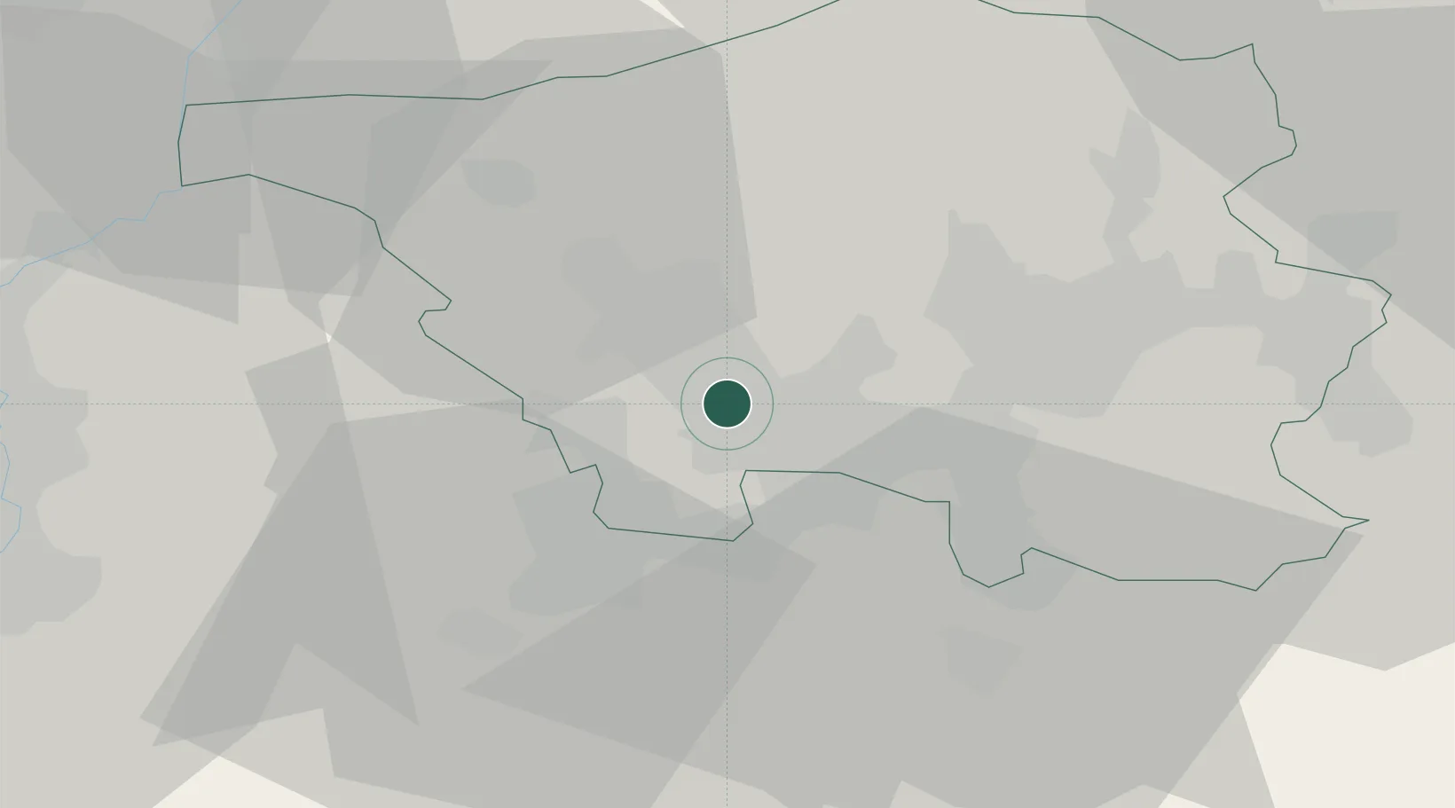
Place type
Local administrative seat
Region
Saarland
Time zone
Europe/Berlin
Elevation
194 m
Location
Nearby Logistics Neighbours
Cities
- 1Wadgassen1 km
- 2Bous2 km
- 3Püttlingen5 km
- 4Ensdorf5 km
- 5Grossrosseln8 km
Airports
Trade Zones
- 1ZFU La Cité Behren-lès-Forbach14 km
- 2ZFU Woippy-Metz50 km
- 3ZFU Metz51 km
- 4Luxembourg Free Port60 km
- 5ZFU Maxéville, Laxou, et de Nancy78 km
DatabookThe Record of Consolidated Knowledge
Germany beyond logistics?