Transport Functions
Rail
Road
Hub Profile
Place type
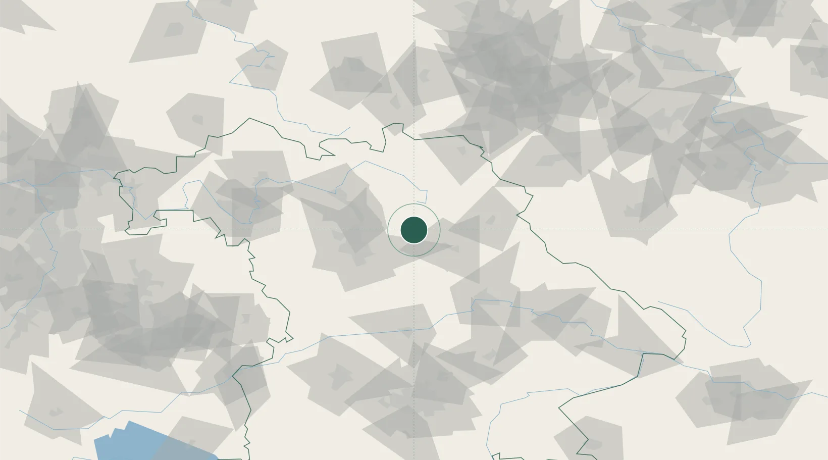
Populated place
Region
Bavaria
Population
1,887
Time zone
Europe/Berlin
Elevation
388 m
Location
Nearby Logistics Neighbours
Cities
- 1Hartenstein2 km
- 2Neuhaus an der Pegnitz3 km
- 3Pommelsbrunn13 km
- 4Happurg14 km
- 5Weigendorf14 km
Ports
- 1Bremen435 km
- 2Nogaro446 km
- 3Hamburg451 km
- 4Oldenburg452 km
- 5Monfalcone453 km
Airports
- 1Grafenwöhr Army Air Field32 km
- 2Nuremberg Airport34 km
- 3Bayreuth Airport42 km
- 4Hohenfels Army Airfield50 km
- 5Bamberg-Breitenau Airfield55 km
Trade Zones
DatabookThe Record of Consolidated Knowledge
Germany beyond logistics?