Transport Functions
Rail
Road
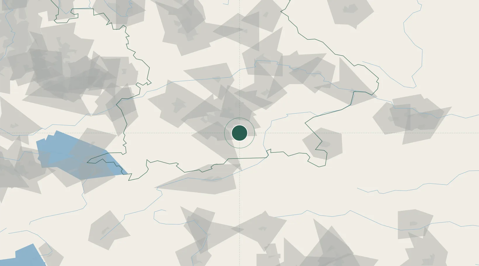
Hub Profile
Place type
Local administrative seat
Region
Bavaria
Population
4,040
Time zone
Europe/Berlin
Elevation
612 m
Location
Nearby Logistics Neighbours
Cities
- 1Grosshelfendorf2 km
- 2Glonn (Ebersberg)7 km
- 3Siegertsbrunn7 km
- 4Feldkirchen-Westerham8 km
- 5Hohenkirchen8 km
Ports
- 1Nogaro267 km
- 2Grado277 km
- 3Monfalcone277 km
- 4Porto Di Lido-Venezia288 km
- 5Trieste298 km
Airports
- 1Oberpfaffenhofen Airport39 km
- 2Munich Airport43 km
- 3Altstetten Ultralight Field53 km
- 4Landshut Airfield63 km
- 5Lechfeld Air Base73 km
Trade Zones
DatabookThe Record of Consolidated Knowledge
Germany beyond logistics?