Transport Functions
Port
Rail
Road
Hub Profile
Region
NI
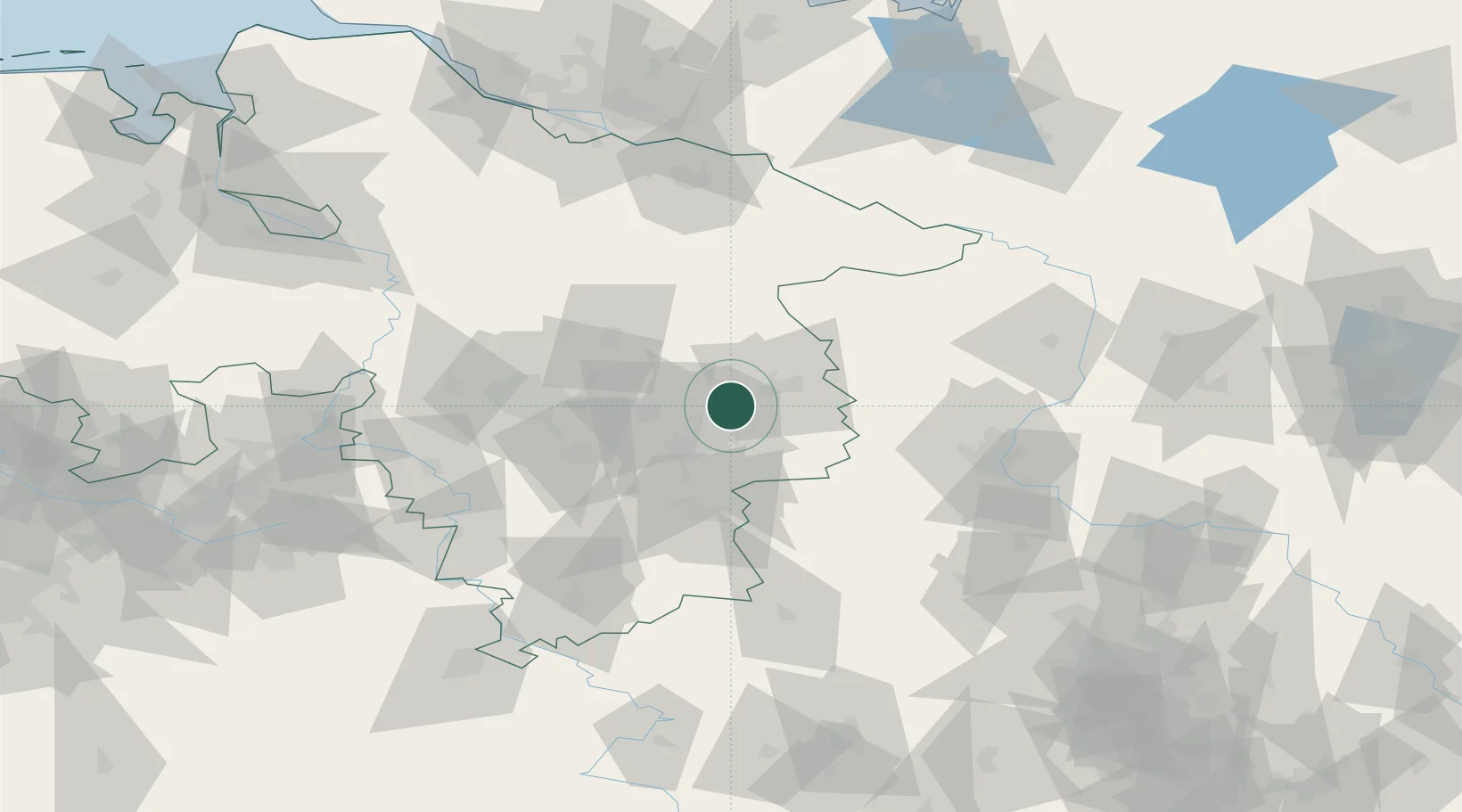
Location
Nearby Logistics Neighbours
Cities
- 1Thune6 km
- 2Bracht7 km
- 3Isenbüttel9 km
- 4Braunschweig10 km
- 5Cremlingen13 km
Airports
- 1Braunschweig-Wolfsburg Airport4 km
- 2Celle Army Airfield46 km
- 3Hannover Airport61 km
- 4Faßberg Air Base68 km
- 5Wunstorf Air Base78 km
Trade Zones
DatabookThe Record of Consolidated Knowledge
Germany beyond logistics?