UN/LOCODE hub · Germany
DETSD

Tarmstedt

53.2167°, 9.0833°
3,616
Population
2
Transport functions

Transport Functions

Road
Multimodal
UN/LOCODE

Hub Profile

Place type
Local administrative seat
GeoNames
Region
Lower Saxony
GeoNames
Population
3,616
GeoNames
Time zone
Europe/Berlin
GeoNames
Elevation
21 m
GeoNames

Location

Location of DETSD
Natural Earth 10m (public domain) · Lower Saxony · DETSD · 53.22, 9.08GoogleOSMYandex

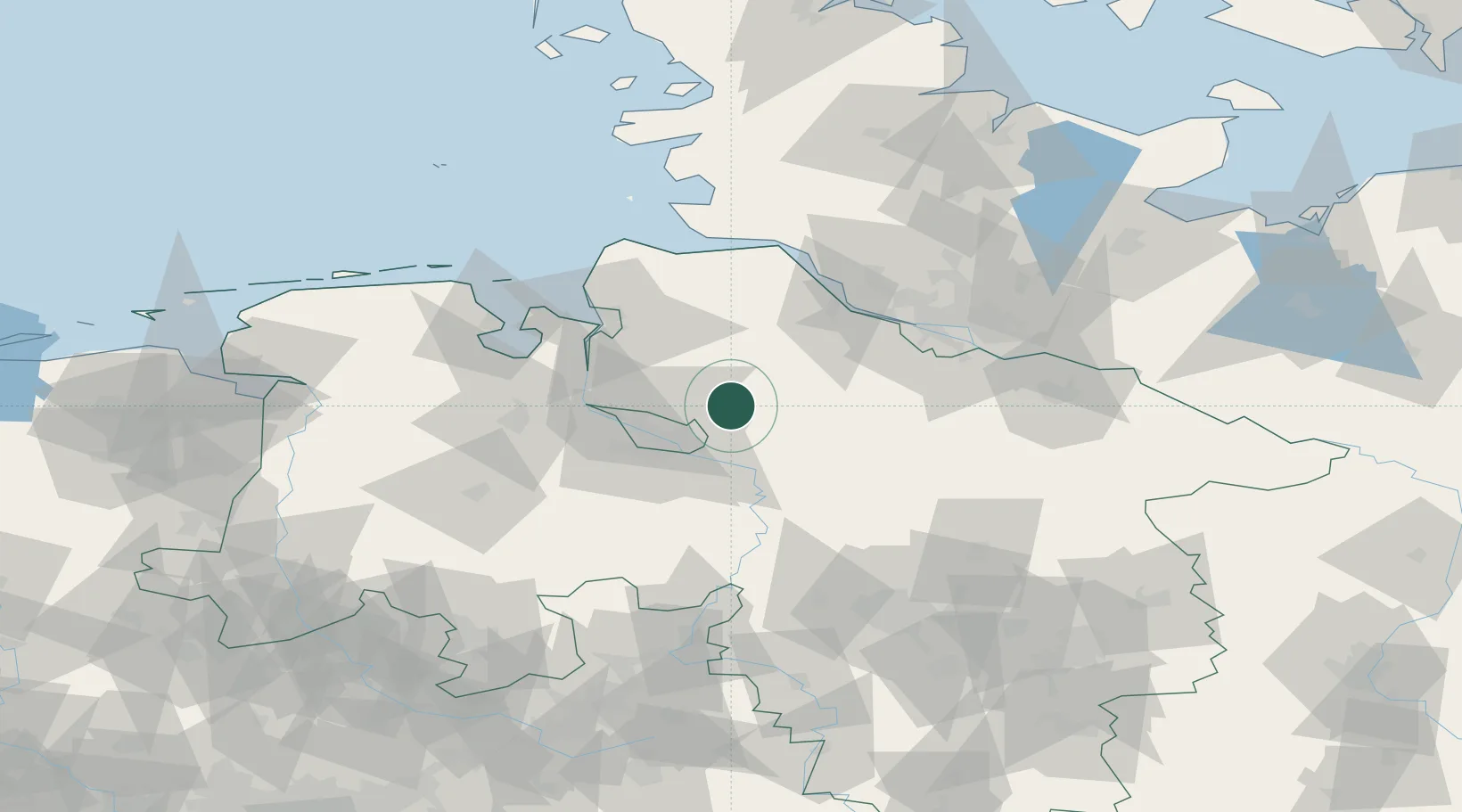
Nearby Logistics Neighbours

Cities
  1. 1Fischerhude11 km
  2. 2Ottersberg14 km
  3. 3Lilienthal15 km
  4. 4Zeven16 km
  5. 5Neuenfelde17 km
Nearest neighbours — logibook spatial index (haversine) over the source coordinates
Ports
  1. 1Bremen23 km
  2. 2Elsfleth41 km
  3. 3Brake42 km
  4. 4Bremerhaven48 km
  5. 5Nordenham50 km
Nearest neighbours — logibook spatial index (haversine) over the source coordinates
Airports
  1. 1Bremen Airport27 km
  2. 2Hamburg-Finkenwerder Airport61 km
  3. 3Uetersen-Heist Airfield63 km
  4. 4Sea-Airport Cuxhaven/Nordholz / Nordholz Naval Airbase67 km
  5. 5Hamburg Helmut Schmidt Airport76 km
Nearest neighbours — logibook spatial index (haversine) over the source coordinates
Trade Zones
  1. 1Freeport of Bremerhaven (Freihafen Bremerhaven)25 km
  2. 2Freeport of Cuxhaven (Freihafen Cuxhaven)76 km
  3. 3Freeport of Emden127 km
  4. 4Freeport of Kiel143 km
  5. 5Freeport of Duisburg260 km
Nearest neighbours — logibook spatial index (haversine) over the source coordinates
DatabookThe Record of Consolidated Knowledge
Germany beyond logistics?
Browse databook

All Sources

LocationsUN/LOCODE
UN/LOCODE — free
LocationsGeoNames
CC BY 4.0
Portsthe NGA World Port Index
Public domain (US gov)
AirportsOurAirports
Public domain
Trade Zonesthe World Bank SEZ database
CC BY 4.0
Trade ZonesOpen Zone Map
CC BY
← Germany locations