Transport Functions
Rail
Road
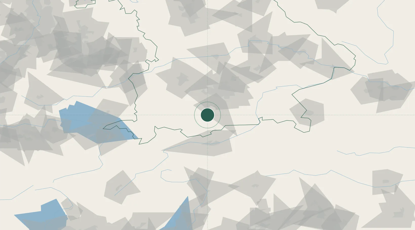
Hub Profile
Place type
Local administrative seat
Region
Bavaria
Population
2,682
Time zone
Europe/Berlin
Elevation
603 m
Location
Nearby Logistics Neighbours
Cities
- 1Seeshaupt8 km
- 2Obersöchering8 km
- 3Huglfing11 km
- 4Kochel am See14 km
- 5Weilheim in Oberbayern15 km
Ports
- 1Nogaro264 km
- 2Porto Di Lido-Venezia275 km
- 3Grado275 km
- 4Monfalcone279 km
- 5Porto Di Chioggia292 km
Airports
- 1Oberpfaffenhofen Airport35 km
- 2Innsbruck Airport56 km
- 3Lechfeld Air Base58 km
- 4Altstetten Ultralight Field60 km
- 5Munich Airport74 km
Trade Zones
- 1Livigno Free Trade Zone165 km
- 2Freeport of Deggendorf168 km
- 3Consorzio Zona Industriale e Porto Fluviale di Padova269 km
- 4Free Port of Venice271 km
- 5ZFU Neuhof277 km
DatabookThe Record of Consolidated Knowledge
Germany beyond logistics?