Transport Functions
Port
Rail
Road
Hub Profile
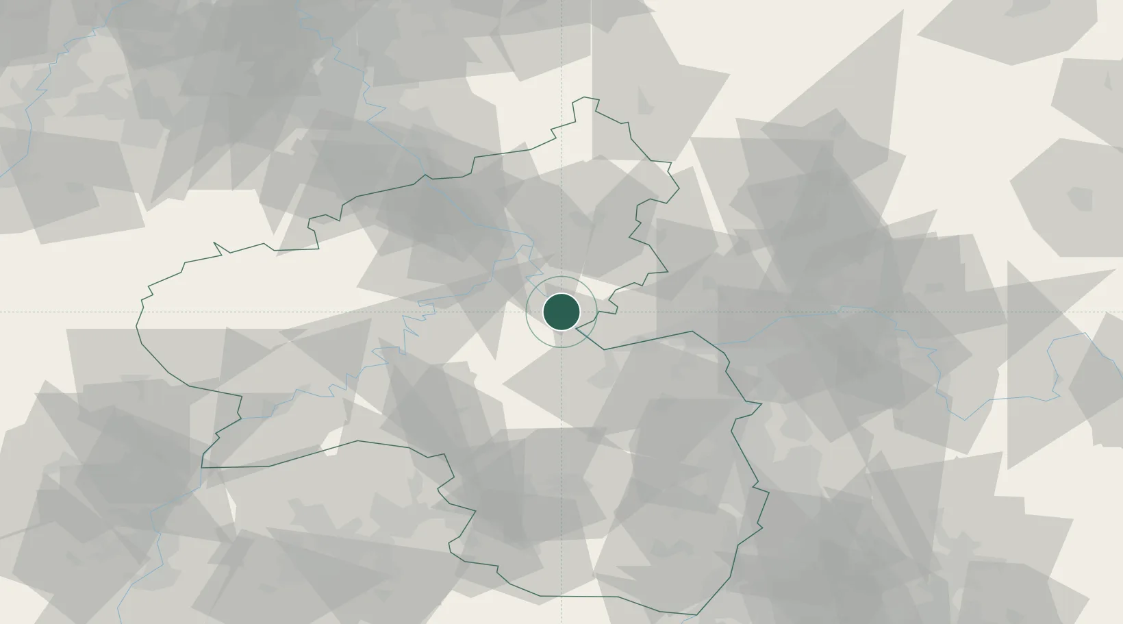
Place type
Populated place
Region
Rheinland-Pfalz
Population
3,128
Time zone
Europe/Berlin
Elevation
90 m
Location
Nearby Logistics Neighbours
Cities
- 1Sankt Goarshausen4 km
- 2Kaub5 km
- 3Weisel6 km
- 4Am Hund6 km
- 5Bacharach8 km
Airports
- 1Mainz-Finthen Airfield35 km
- 2Frankfurt-Hahn Airport38 km
- 3Wiesbaden Army Airfield44 km
- 4Büchel Air Base47 km
- 5Frankfurt Main Airport61 km
Trade Zones
- 1Luxembourg Free Port120 km
- 2ZFU La Cité Behren-lès-Forbach120 km
- 3Rheinische Revier SWZ129 km
- 4ZFU Woippy-Metz156 km
- 5ZFU Metz159 km
DatabookThe Record of Consolidated Knowledge
Germany beyond logistics?