UN/LOCODE hub · Germany
DEMEM

Memmert

53.6333°, 6.9000°
1
Transport functions

Transport Functions

Port
UN/LOCODE

Hub Profile

Region
NI
GeoNames

Location

Location of DEMEM
Natural Earth 10m (public domain) · NI · DEMEM · 53.63, 6.90GoogleOSMYandex

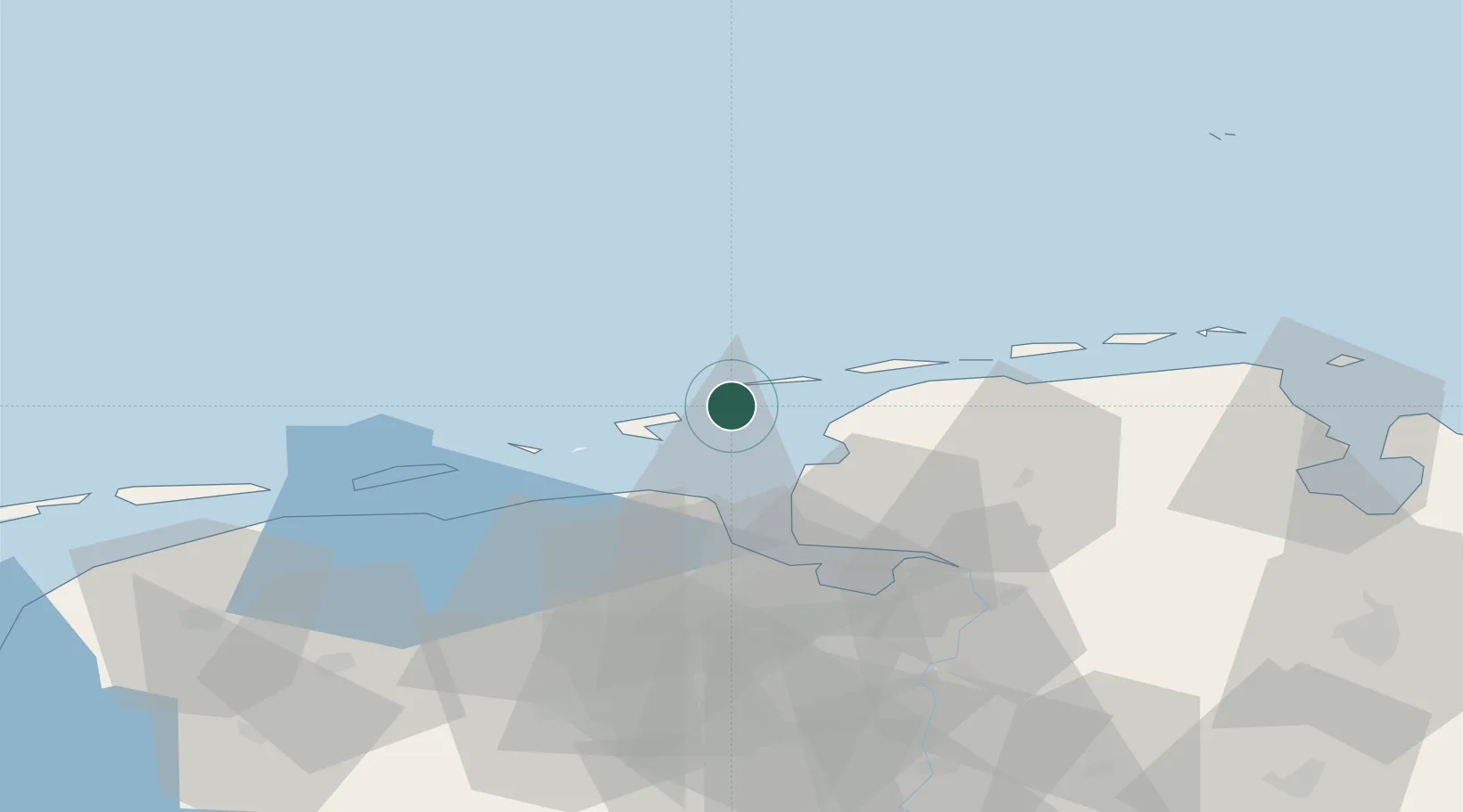
Nearby Logistics Neighbours

Cities
  1. 1Juist9 km
  2. 2Borkum16 km
  3. 3Norddeich17 km
  4. 4Greetsiel20 km
  5. 5Nessmersiel30 km
Nearest neighbours — logibook spatial index (haversine) over the source coordinates
Ports
  1. 1Eemshaven21 km
  2. 2Delfzijl33 km
  3. 3Emden38 km
  4. 4Leer58 km
  5. 5Papenburg67 km
Nearest neighbours — logibook spatial index (haversine) over the source coordinates
Airports
  1. 1Juist Airport12 km
  2. 2Borkum Airport13 km
  3. 3Norden-Norddeich Airport19 km
  4. 4Norderney Airport23 km
  5. 5Baltrum Airport33 km
Nearest neighbours — logibook spatial index (haversine) over the source coordinates
Trade Zones
  1. 1Freeport of Emden38 km
  2. 2Freeport of Cuxhaven (Freihafen Cuxhaven)112 km
  3. 3Freeport of Bremerhaven (Freihafen Bremerhaven)138 km
  4. 4Freeport of Kiel228 km
  5. 5Freeport of Duisburg244 km
Nearest neighbours — logibook spatial index (haversine) over the source coordinates
DatabookThe Record of Consolidated Knowledge
Germany beyond logistics?
Browse databook

All Sources

LocationsUN/LOCODE
UN/LOCODE — free
Portsthe NGA World Port Index
Public domain (US gov)
AirportsOurAirports
Public domain
Trade Zonesthe World Bank SEZ database
CC BY 4.0
Trade ZonesOpen Zone Map
CC BY
← Germany locations