UN/LOCODE hub · Germany
DENET
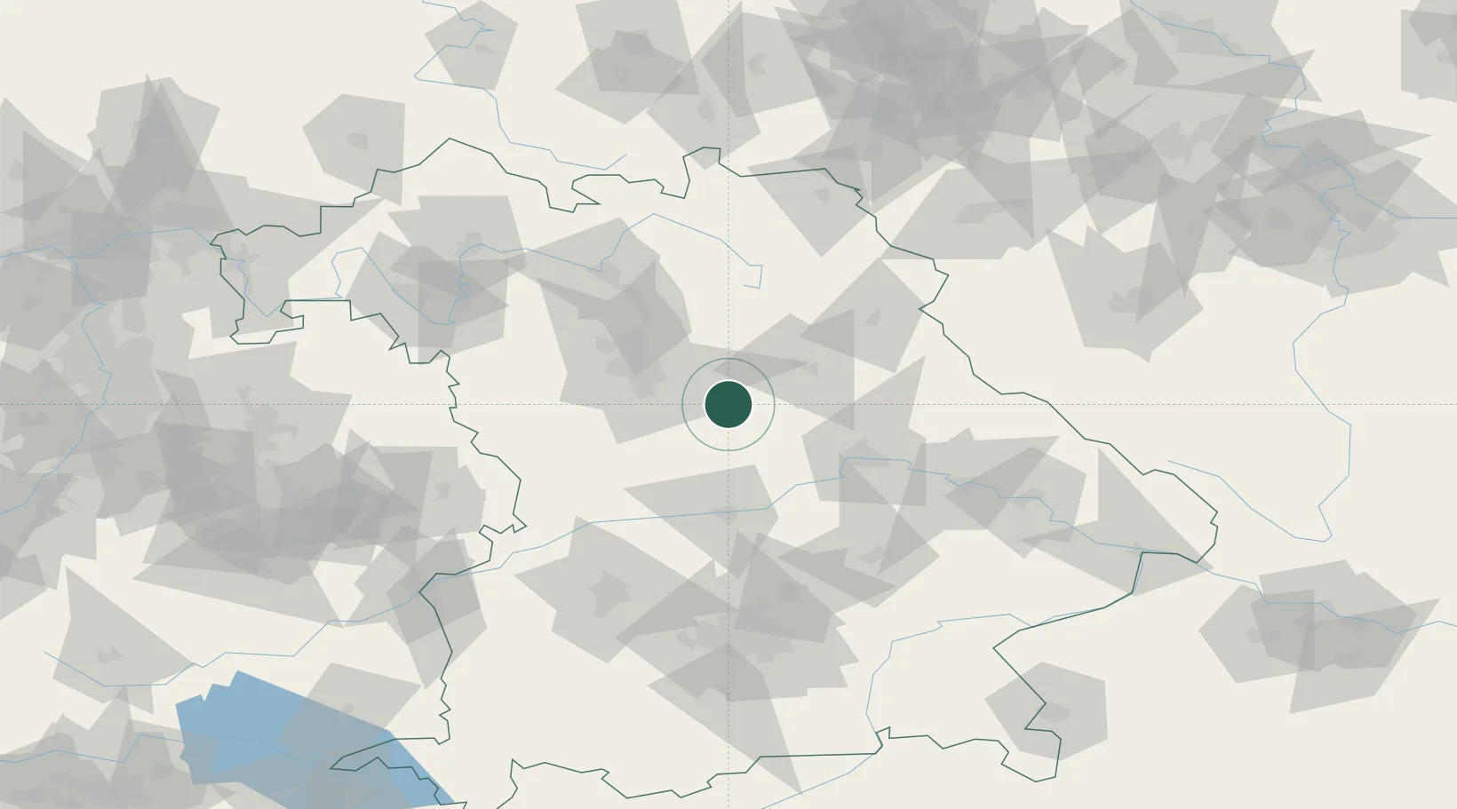
Neumarkt in der Oberpfalz
49.2833°, 11.4667°
39,557
Population
2
Transport functions
Transport Functions
Rail
Road
Hub Profile
Place type
Local administrative seat
Region
Bavaria
Population
39,557
Time zone
Europe/Berlin
Elevation
431 m
Location
Nearby Logistics Neighbours
Cities
- 1Sengenthal6 km
- 2Deining8 km
- 3Postbauer-Heng9 km
- 4Altdorf13 km
- 5Thannhausen14 km
Ports
- 1Nogaro412 km
- 2Monfalcone419 km
- 3Grado422 km
- 4Porto Di Lido-Venezia436 km
- 5Trieste439 km
Airports
- 1Hohenfels Army Airfield28 km
- 2Nuremberg Airport37 km
- 3Grafenwöhr Army Air Field58 km
- 4Ingolstadt Manching Airport63 km
- 5Neuburg Air Base66 km
Trade Zones
- 1Freeport of Deggendorf115 km
- 2Podbořany Industrial Zone174 km
- 3Žatec - Triangle Strategic Industrial Zone192 km
- 4Most - Joseph Industrial Zone205 km
- 5ZFU Neuhof283 km
DatabookThe Record of Consolidated Knowledge
Germany beyond logistics?