Transport Functions
Rail
Road
Hub Profile
Place type
Local administrative seat
Region
Bavaria
Population
2,633
Time zone
Europe/Berlin
Elevation
476 m
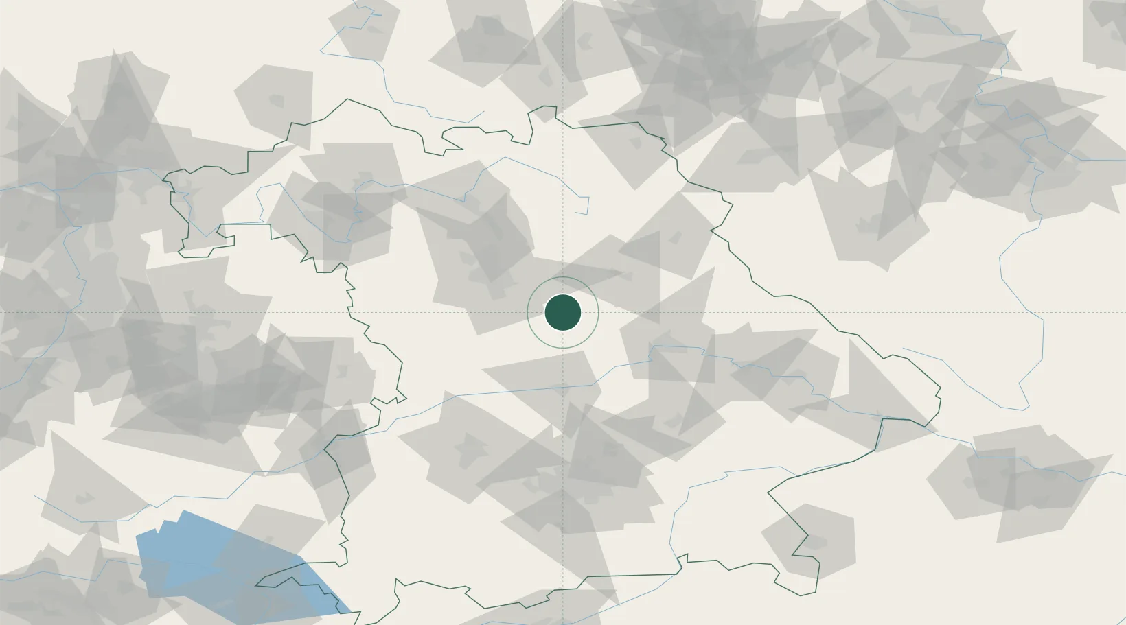
Location
Nearby Logistics Neighbours
Cities
- 1Deining4 km
- 2Neumarkt in der Oberpfalz6 km
- 3Thannhausen10 km
- 4Postbauer-Heng11 km
- 5Freystadt12 km
Ports
- 1Nogaro407 km
- 2Monfalcone414 km
- 3Grado417 km
- 4Porto Di Lido-Venezia431 km
- 5Trieste434 km
Airports
- 1Hohenfels Army Airfield27 km
- 2Nuremberg Airport41 km
- 3Ingolstadt Manching Airport58 km
- 4Neuburg Air Base61 km
- 5Grafenwöhr Army Air Field62 km
Trade Zones
- 1Freeport of Deggendorf113 km
- 2Podbořany Industrial Zone178 km
- 3Žatec - Triangle Strategic Industrial Zone196 km
- 4Most - Joseph Industrial Zone209 km
- 5ZFU Neuhof282 km
DatabookThe Record of Consolidated Knowledge
Germany beyond logistics?