Transport Functions
Rail
Road
Hub Profile
Place type
Populated place
Region
Bavaria
Time zone
Europe/Berlin
Elevation
413 m
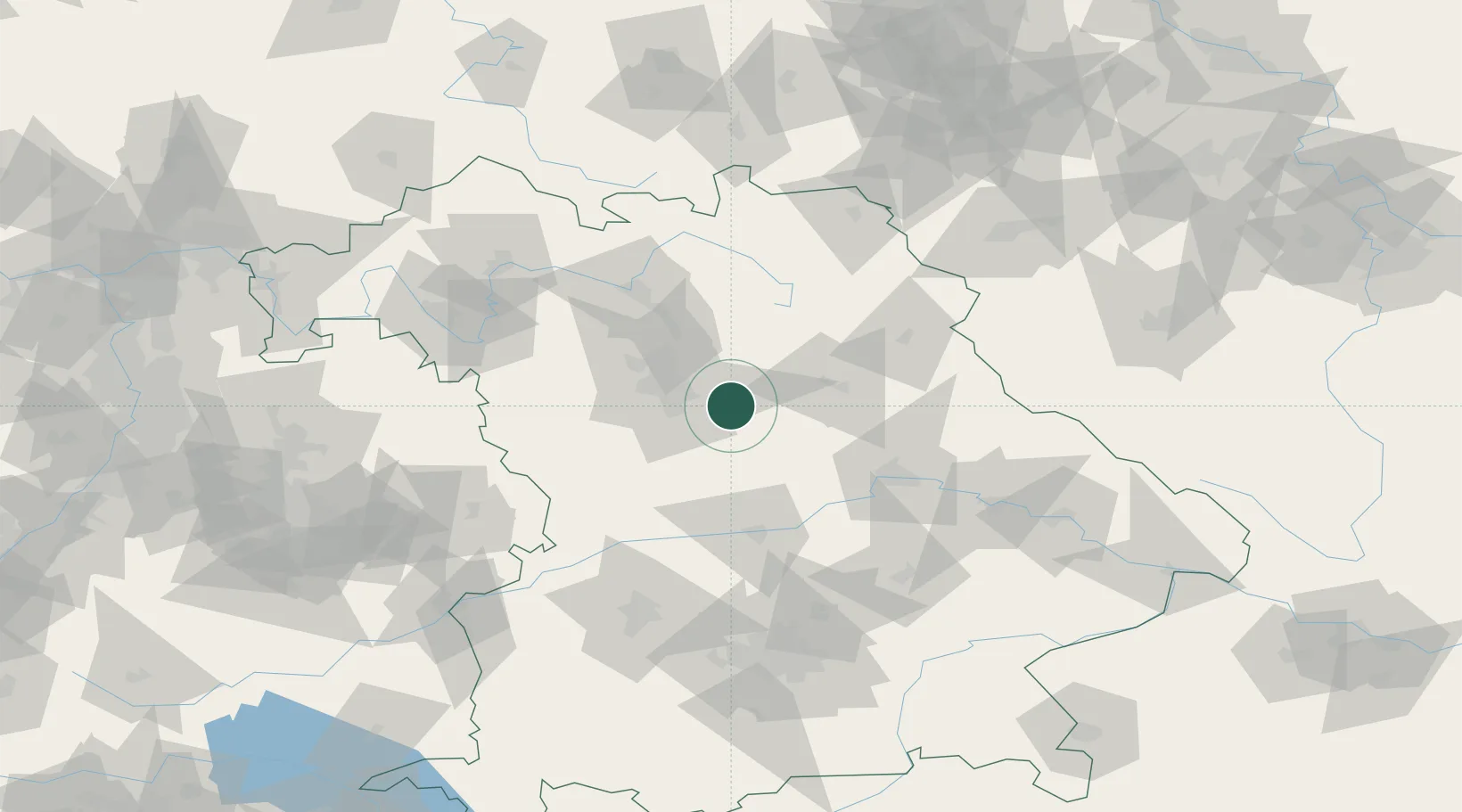
Location
Nearby Logistics Neighbours
Cities
- 1Schwarzenbruck6 km
- 2Postbauer-Heng8 km
- 3Breitenbrunn12 km
- 4Neumarkt in der Oberpfalz13 km
- 5Röthenbach an der Pegnitz14 km
Ports
- 1Nogaro424 km
- 2Monfalcone432 km
- 3Grado434 km
- 4Porto Di Lido-Venezia447 km
- 5Trieste451 km
Airports
- 1Nuremberg Airport24 km
- 2Hohenfels Army Airfield40 km
- 3Grafenwöhr Army Air Field57 km
- 4Bamberg-Breitenau Airfield69 km
- 5Bayreuth Airport72 km
Trade Zones
- 1Freeport of Deggendorf128 km
- 2Podbořany Industrial Zone177 km
- 3Žatec - Triangle Strategic Industrial Zone194 km
- 4Most - Joseph Industrial Zone207 km
- 5ZFU Neuhof276 km
DatabookThe Record of Consolidated Knowledge
Germany beyond logistics?