Transport Functions
Multimodal
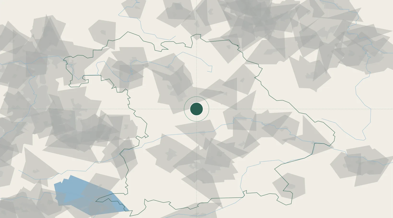
Hub Profile
Place type
Populated place
Region
Bavaria
Time zone
Europe/Berlin
Elevation
427 m
Location
Nearby Logistics Neighbours
Cities
- 1Freystadt3 km
- 2Sengenthal10 km
- 3Hilpoltstein12 km
- 4Deining13 km
- 5Postbauer-Heng13 km
Ports
- 1Nogaro405 km
- 2Monfalcone413 km
- 3Grado414 km
- 4Porto Di Lido-Venezia427 km
- 5Trieste432 km
Airports
- 1Hohenfels Army Airfield36 km
- 2Nuremberg Airport40 km
- 3Neuburg Air Base54 km
- 4Ingolstadt Manching Airport54 km
- 5Grafenwöhr Army Air Field71 km
Trade Zones
- 1Freeport of Deggendorf119 km
- 2Podbořany Industrial Zone188 km
- 3Žatec - Triangle Strategic Industrial Zone206 km
- 4Most - Joseph Industrial Zone219 km
- 5ZFU Neuhof272 km
DatabookThe Record of Consolidated Knowledge
Germany beyond logistics?