Transport Functions
Rail
Road
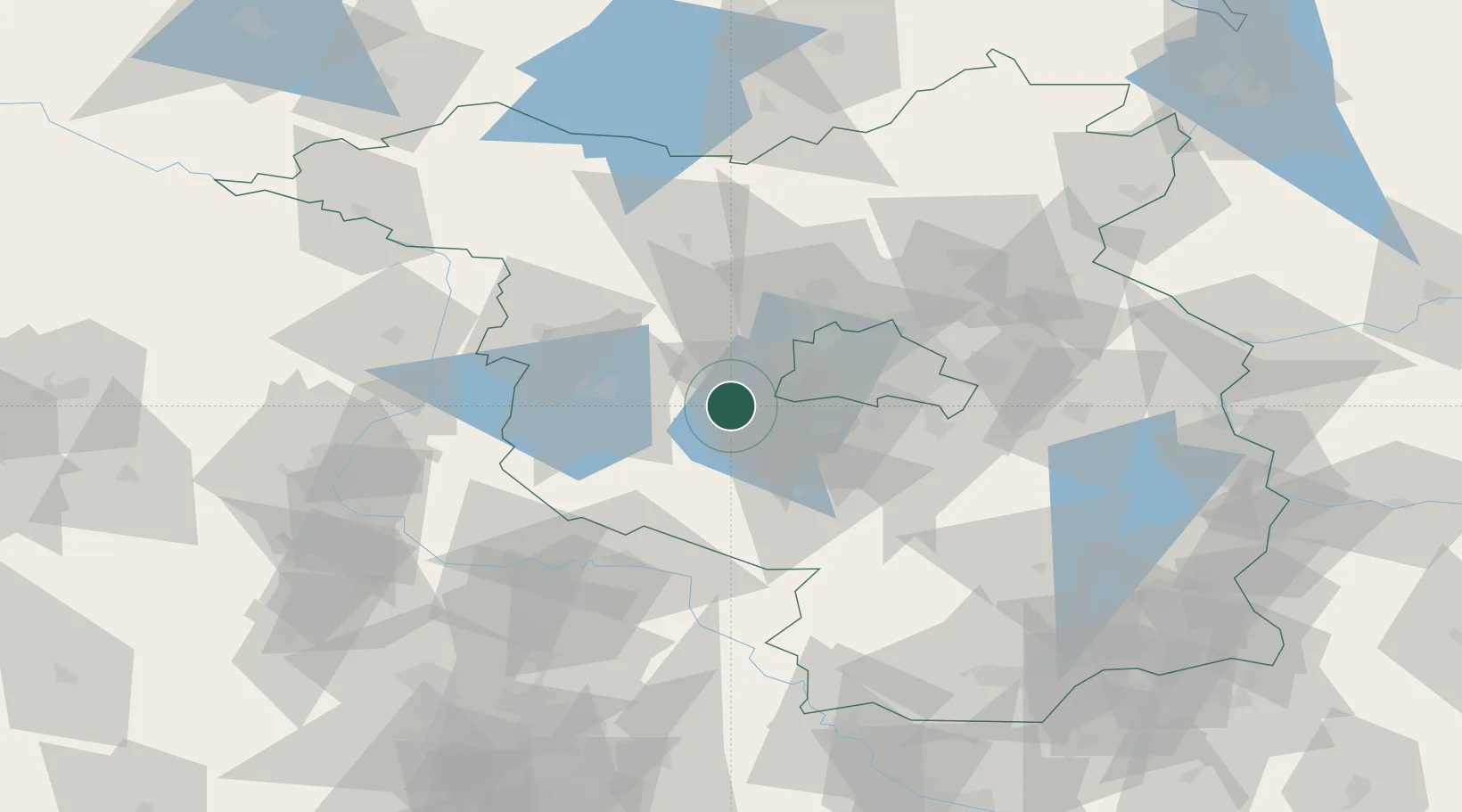
Hub Profile
Place type
Populated place
Region
Brandenburg
Population
22,384
Time zone
Europe/Berlin
Elevation
33 m
Location
Nearby Logistics Neighbours
Cities
- 1Schwielowsee6 km
- 2Marquardt8 km
- 3Potsdam8 km
- 4Ferch9 km
- 5Michendorf10 km
Ports
- 1Szczecin157 km
- 2Police170 km
- 3Swinoujscie192 km
- 4Wolgast193 km
- 5Wismar196 km
Airports
- 1Berlin Brandenburg Airport38 km
- 2Zerbst Airfield69 km
- 3Holzdorf Air Base70 km
- 4Leipzig/Halle Airport118 km
- 5Neubrandenburg Trollenhagen Airport138 km
Trade Zones
- 1Kostrzyń-Słubice SEZ117 km
- 2Szczecin Duty Free Zone159 km
- 3Swinoujscie Duty Free Zone190 km
- 4Most - Joseph Industrial Zone217 km
- 5Žatec - Triangle Strategic Industrial Zone225 km
DatabookThe Record of Consolidated Knowledge
Germany beyond logistics?