Transport Functions
Rail
Road
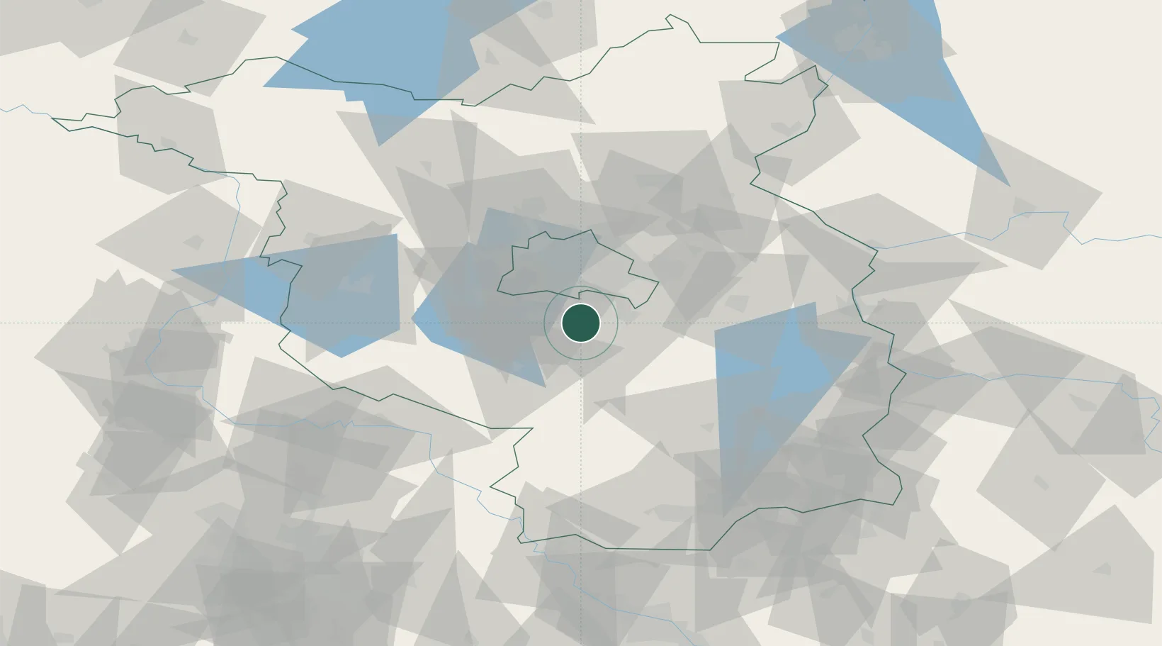
Hub Profile
Place type
Local administrative seat
Region
Brandenburg
Population
9,134
Time zone
Europe/Berlin
Elevation
42 m
Location
Nearby Logistics Neighbours
Cities
- 1Dabendorf6 km
- 2Blankenfelde-Mahlow6 km
- 3Gross Kienitz6 km
- 4Mittenwalde7 km
- 5Mahlow10 km
Ports
- 1Szczecin147 km
- 2Police162 km
- 3Swinoujscie190 km
- 4Wolgast198 km
- 5Rostock220 km
Airports
- 1Berlin Brandenburg Airport10 km
- 2Holzdorf Air Base60 km
- 3Zerbst Airfield93 km
- 4Leipzig/Halle Airport127 km
- 5Dresden Airport130 km
Trade Zones
- 1Kostrzyń-Słubice SEZ89 km
- 2Szczecin Duty Free Zone148 km
- 3Swinoujscie Duty Free Zone188 km
- 4Most - Joseph Industrial Zone201 km
- 5Legnica SEZ (Legnicka SSE)205 km
DatabookThe Record of Consolidated Knowledge
Germany beyond logistics?