Transport Functions
Multimodal
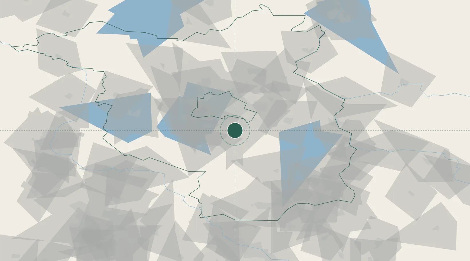
Hub Profile
Place type
Populated place
Region
Brandenburg
Population
8,730
Time zone
Europe/Berlin
Elevation
38 m
Location
Nearby Logistics Neighbours
Cities
- 1Zeesen7 km
- 2Rangsdorf7 km
- 3Dabendorf8 km
- 4Königs Wusterhausen9 km
- 5Gross Kienitz9 km
Ports
- 1Szczecin145 km
- 2Police160 km
- 3Swinoujscie190 km
- 4Wolgast199 km
- 5Rostock224 km
Airports
- 1Berlin Brandenburg Airport11 km
- 2Holzdorf Air Base61 km
- 3Zerbst Airfield99 km
- 4Dresden Airport127 km
- 5Leipzig/Halle Airport130 km
Trade Zones
- 1Kostrzyń-Słubice SEZ84 km
- 2Szczecin Duty Free Zone146 km
- 3Swinoujscie Duty Free Zone188 km
- 4Legnica SEZ (Legnicka SSE)198 km
- 5Most - Joseph Industrial Zone198 km
DatabookThe Record of Consolidated Knowledge
Germany beyond logistics?