Transport Functions
Multimodal
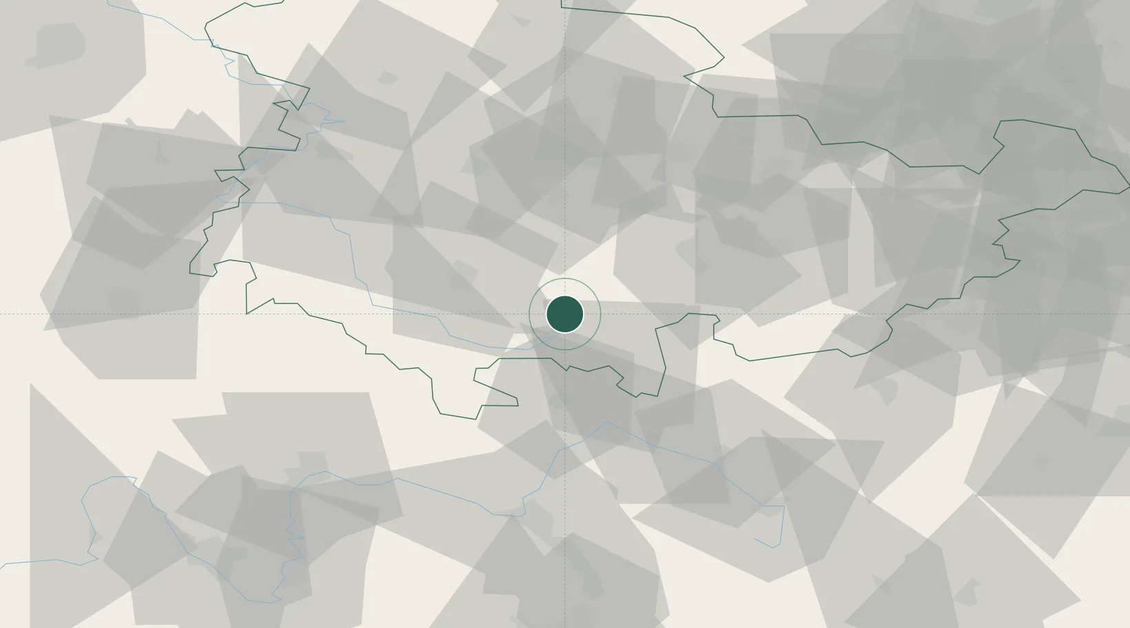
Hub Profile
Place type
Local administrative seat
Region
Thuringia
Population
2,828
Time zone
Europe/Berlin
Elevation
763 m
Location
Nearby Logistics Neighbours
Cities
- 1Sachsenbrunn10 km
- 2Auengrund11 km
- 3Schalkau13 km
- 4Lauscha13 km
- 5Rauenstein14 km
Airports
- 1Erfurt-Weimar Airport51 km
- 2Eisenach-Kindel Airport64 km
- 3Bamberg-Breitenau Airfield67 km
- 4Hof-Plauen Airport67 km
- 5Bayreuth Airport75 km
Trade Zones
DatabookThe Record of Consolidated Knowledge
Germany beyond logistics?