UN/LOCODE hub · Germany
DEA7G

Auengrund

50.4667°, 10.8500°
1
Transport functions

Transport Functions

Multimodal
UN/LOCODE

Hub Profile

Region
TH
GeoNames

Location

Location of DEA7G
Natural Earth 10m (public domain) · TH · DEA7G · 50.47, 10.85GoogleOSMYandex

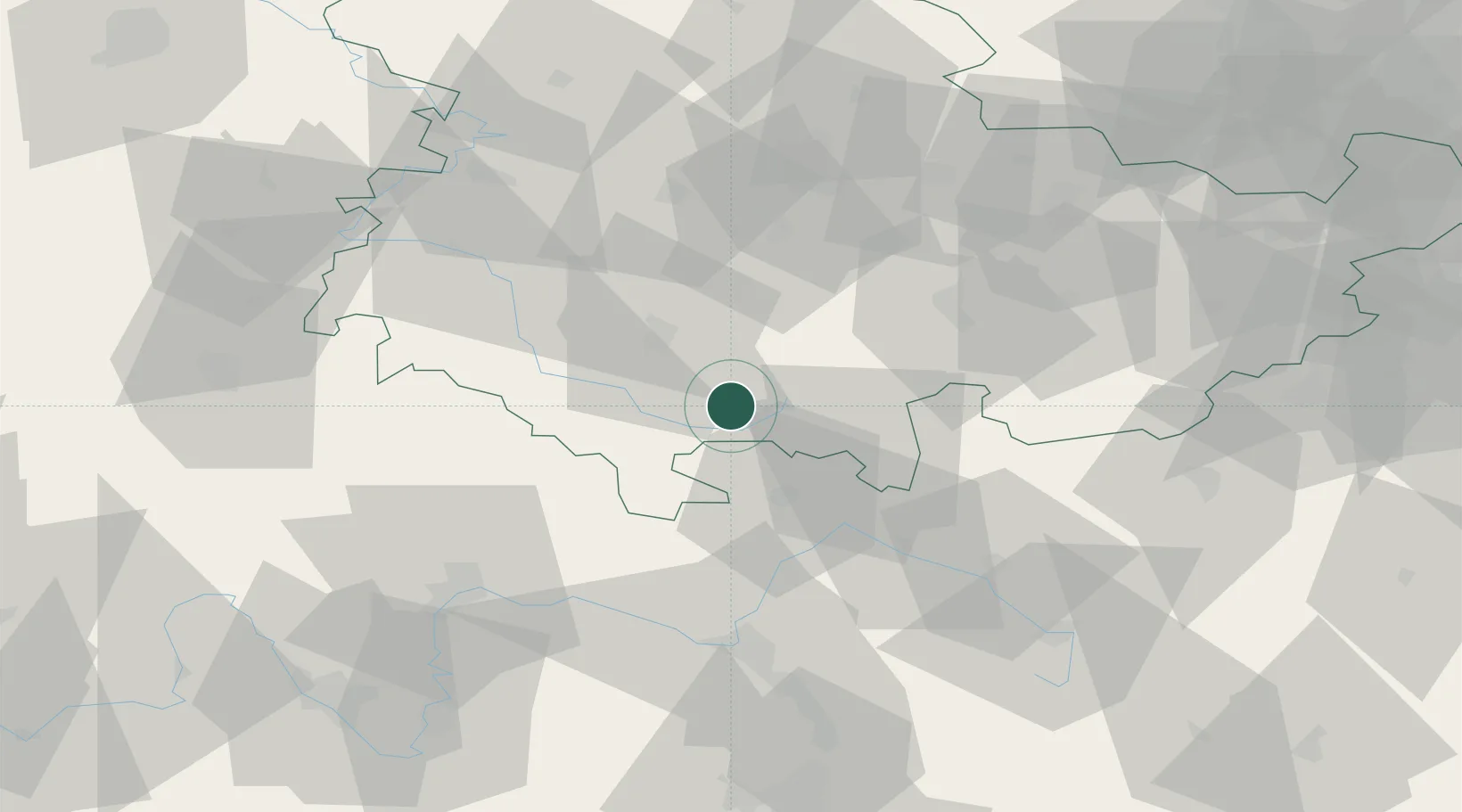
Nearby Logistics Neighbours

Cities
  1. 1Sachsenbrunn7 km
  2. 2Schleusingen9 km
  3. 3Masserberg11 km
  4. 4Schalkau13 km
  5. 5Rauenstein16 km
Nearest neighbours — logibook spatial index (haversine) over the source coordinates
Ports
  1. 1Bremen329 km
  2. 2Oldenburg346 km
  3. 3Elsfleth348 km
  4. 4Hamburg349 km
  5. 5Brake358 km
Nearest neighbours — logibook spatial index (haversine) over the source coordinates
Airports
  1. 1Erfurt-Weimar Airport57 km
  2. 2Bamberg-Breitenau Airfield61 km
  3. 3Eisenach-Kindel Airport64 km
  4. 4Hof-Plauen Airport74 km
  5. 5Bayreuth Airport78 km
Nearest neighbours — logibook spatial index (haversine) over the source coordinates
Trade Zones
  1. 1Podbořany Industrial Zone183 km
  2. 2Žatec - Triangle Strategic Industrial Zone190 km
  3. 3Most - Joseph Industrial Zone198 km
  4. 4Freeport of Deggendorf233 km
  5. 5ZFU Hautepierre309 km
Nearest neighbours — logibook spatial index (haversine) over the source coordinates
DatabookThe Record of Consolidated Knowledge
Germany beyond logistics?
Browse databook

All Sources

LocationsUN/LOCODE
UN/LOCODE — free
Portsthe NGA World Port Index
Public domain (US gov)
AirportsOurAirports
Public domain
Trade Zonesthe World Bank SEZ database
CC BY 4.0
Trade ZonesOpen Zone Map
CC BY
← Germany locations