UN/LOCODE hub · Germany
DEMQG
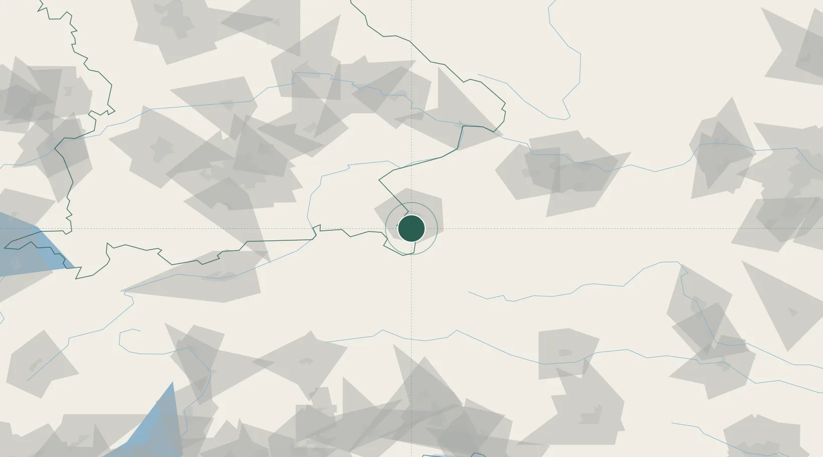
Marktschellenberg
47.7000°, 13.0167°
1,855
Population
1
Transport functions
Transport Functions
Multimodal
Hub Profile
Place type
Populated place
Region
Bavaria
Population
1,855
Time zone
Europe/Berlin
Elevation
517 m
Location
Nearby Logistics Neighbours
Ports
- 1Nogaro216 km
- 2Monfalcone217 km
- 3Grado224 km
- 4Trieste235 km
- 5Muggia240 km
Airports
- 1Salzburg Airport10 km
- 2Linz-Hörsching Airport106 km
- 3Landshut Airfield116 km
- 4Munich Airport117 km
- 5Innsbruck Airport135 km
Trade Zones
- 1Freeport of Deggendorf128 km
- 2Free Port of Trieste235 km
- 3Livigno Free Trade Zone256 km
- 4Free Port of Venice258 km
- 5Consorzio Zona Industriale e Porto Fluviale di Padova270 km
DatabookThe Record of Consolidated Knowledge
Germany beyond logistics?