Transport Functions
Rail
Airport
Postal
Hub Profile
Place type
Regional capital
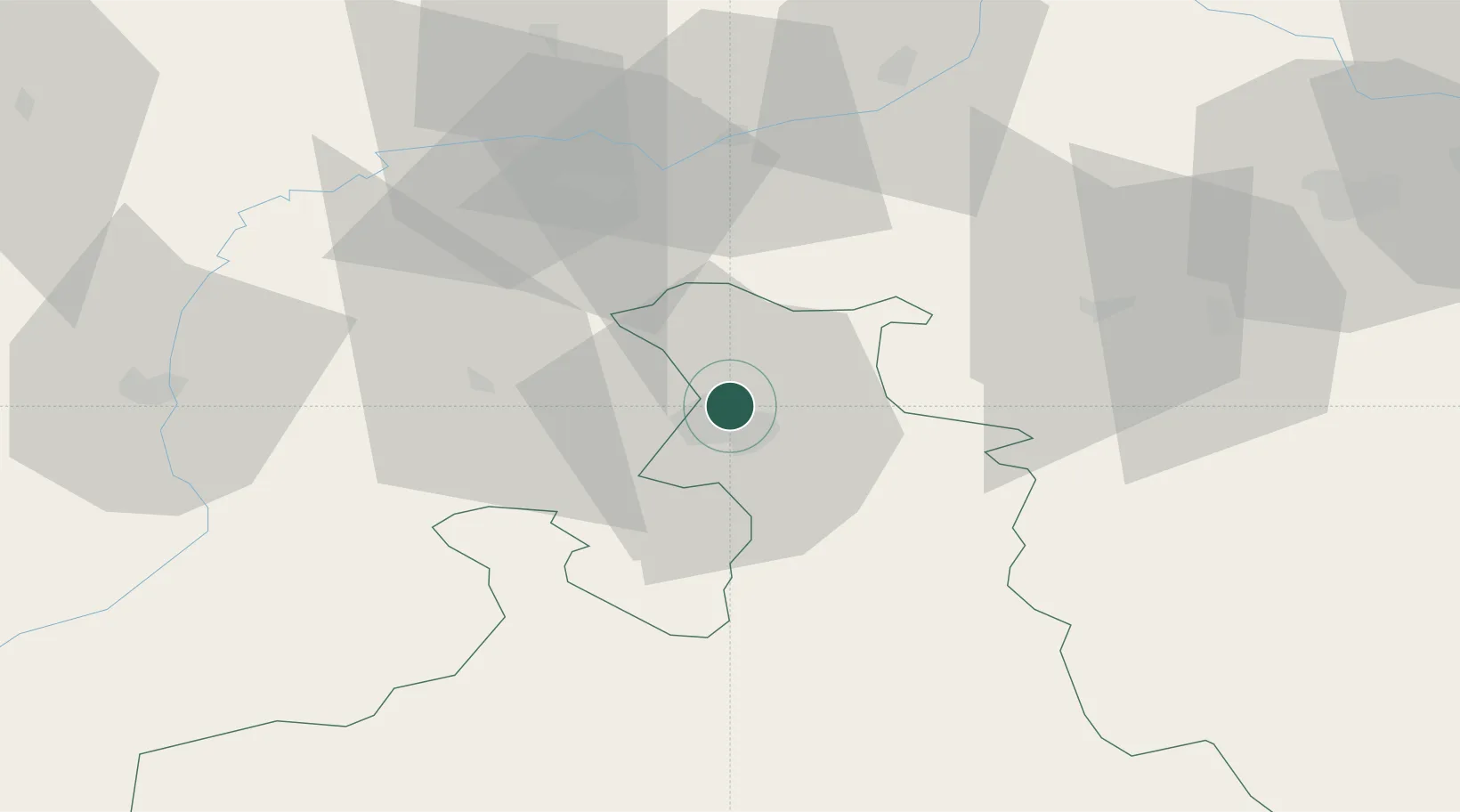
Region
Salzburg
Population
157,245
Time zone
Europe/Vienna
Elevation
424 m
Logistics facilities
7
Location
Nearby Logistics Neighbours
Cities
- 1Hallwang4 km
- 2Anthering4 km
- 3Elixhausen4 km
- 4Eugendorf7 km
- 5Hammerau8 km
Ports
- 1Nogaro231 km
- 2Monfalcone232 km
- 3Grado239 km
- 4Trieste249 km
- 5Muggia255 km
Airports
- 1Salzburg Airport5 km
- 2Linz-Hörsching Airport96 km
- 3Landshut Airfield106 km
- 4Munich Airport109 km
- 5Oberpfaffenhofen Airport134 km
Trade Zones
- 1Freeport of Deggendorf113 km
- 2Free Port of Trieste249 km
- 3Livigno Free Trade Zone265 km
- 4Podbořany Industrial Zone267 km
- 5Světlá nad Sázavou Municipal Industrial Zone268 km
DatabookThe Record of Consolidated Knowledge
Austria beyond logistics?