UN/LOCODE hub · Austria
ATSAD

Adnet

47.6833°, 13.1333°
1,464
Population
1
Transport functions

Transport Functions

Multimodal
UN/LOCODE

Hub Profile

Place type
District seat
GeoNames
Region
Salzburg
GeoNames
Population
1,464
GeoNames
Time zone
Europe/Vienna
GeoNames
Elevation
487 m
GeoNames

Location

Location of ATSAD
Natural Earth 10m (public domain) · Salzburg · ATSAD · 47.68, 13.13GoogleOSMYandex

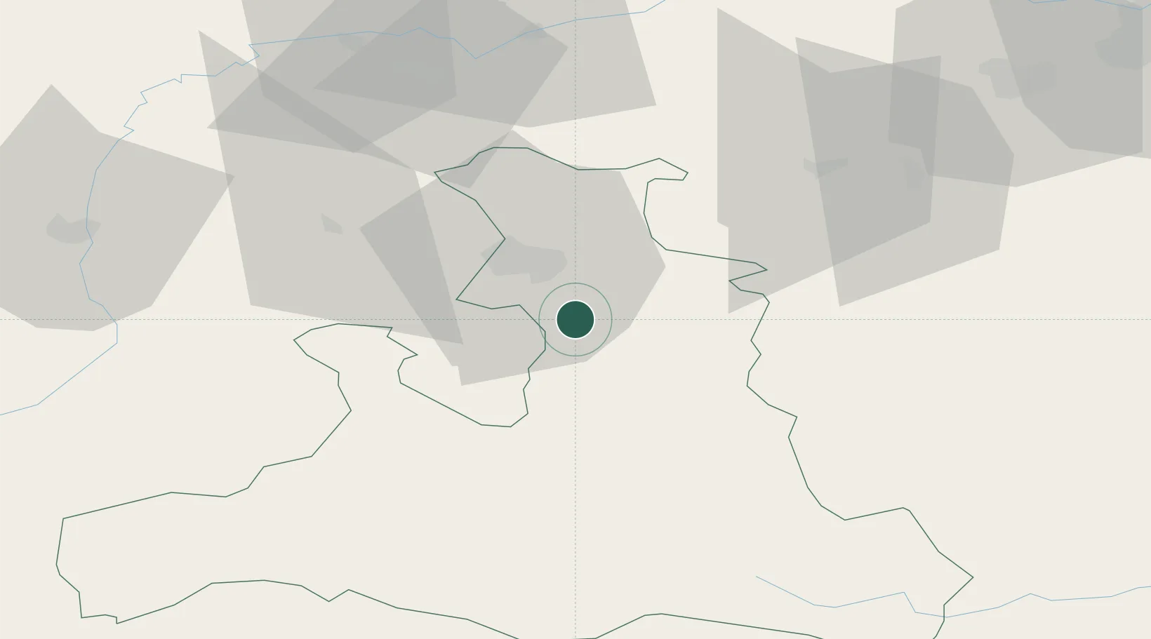
Nearby Logistics Neighbours

Cities
  1. 1Oberalm3 km
  2. 2Marktschellenberg9 km
  3. 3Faistenau11 km
  4. 4Fuschl am See18 km
  5. 5Salzburg18 km
Nearest neighbours — logibook spatial index (haversine) over the source coordinates
Ports
  1. 1Monfalcone214 km
  2. 2Nogaro214 km
  3. 3Grado221 km
  4. 4Trieste231 km
  5. 5Muggia237 km
Nearest neighbours — logibook spatial index (haversine) over the source coordinates
Airports
  1. 1Salzburg Airport16 km
  2. 2Linz-Hörsching Airport100 km
  3. 3Landshut Airfield123 km
  4. 4Munich Airport125 km
  5. 5Hinterstoisser Air Base132 km
Nearest neighbours — logibook spatial index (haversine) over the source coordinates
Trade Zones
  1. 1Freeport of Deggendorf131 km
  2. 2Free Port of Trieste231 km
  3. 3Free Port of Venice258 km
  4. 4Livigno Free Trade Zone263 km
  5. 5Krapina-Zagorje Free Zone269 km
Nearest neighbours — logibook spatial index (haversine) over the source coordinates
DatabookThe Record of Consolidated Knowledge
Austria beyond logistics?
Browse databook

All Sources

LocationsUN/LOCODE
UN/LOCODE — free
LocationsGeoNames
CC BY 4.0
Portsthe NGA World Port Index
Public domain (US gov)
AirportsOurAirports
Public domain
Trade Zonesthe World Bank SEZ database
CC BY 4.0
Trade ZonesOpen Zone Map
CC BY
← Austria locations