Transport Functions
Multimodal
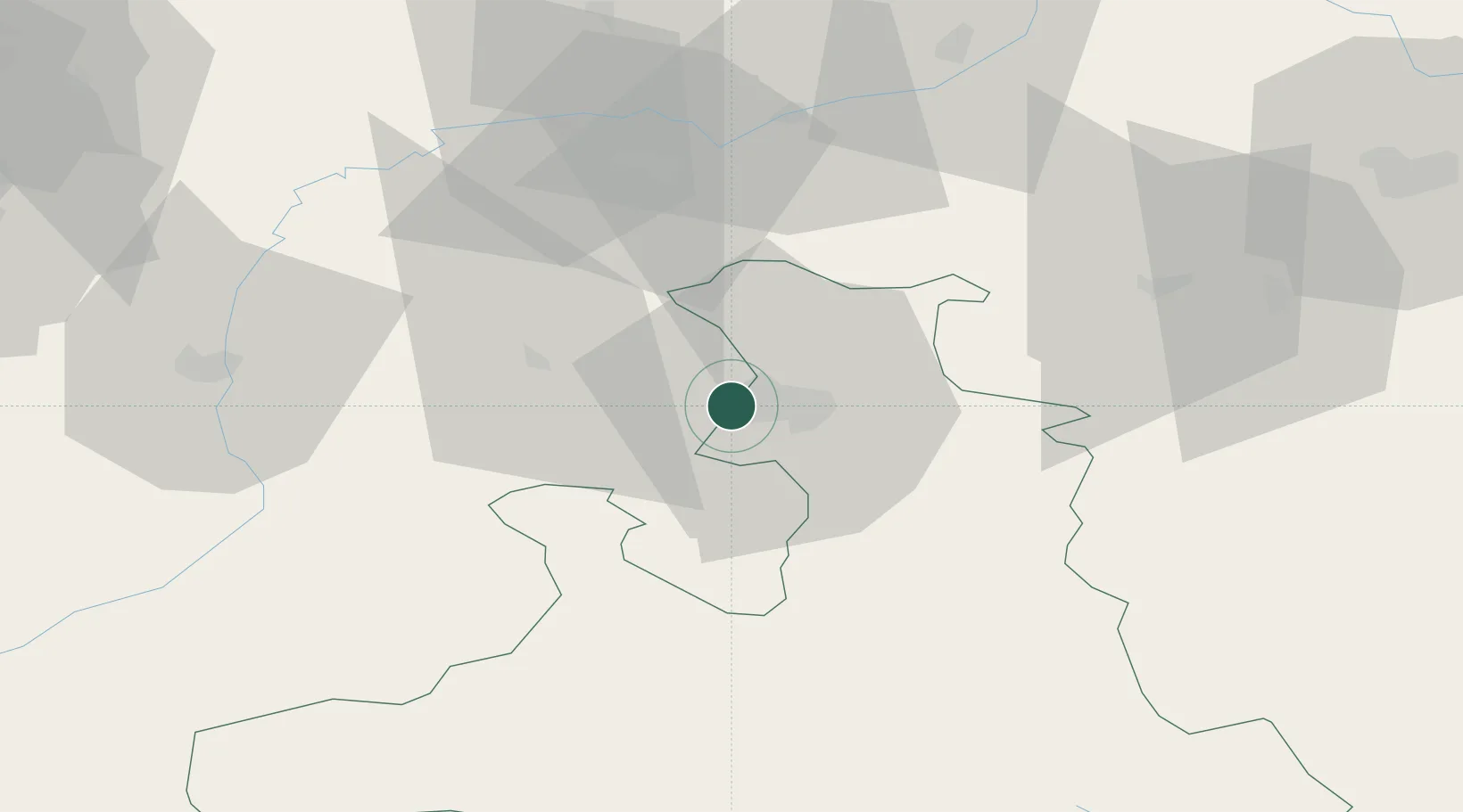
Hub Profile
Place type
Populated place
Region
Bavaria
Time zone
Europe/Berlin
Elevation
441 m
Location
Nearby Logistics Neighbours
Cities
- 1Salzburg8 km
- 2Anthering9 km
- 3Hallwang11 km
- 4Elixhausen11 km
- 5Marktschellenberg12 km
Ports
- 1Nogaro228 km
- 2Monfalcone229 km
- 3Grado235 km
- 4Trieste247 km
- 5Muggia252 km
Airports
- 1Salzburg Airport4 km
- 2Linz-Hörsching Airport104 km
- 3Landshut Airfield104 km
- 4Munich Airport106 km
- 5Oberpfaffenhofen Airport128 km
Trade Zones
- 1Freeport of Deggendorf117 km
- 2Free Port of Trieste247 km
- 3Livigno Free Trade Zone258 km
- 4Free Port of Venice268 km
- 5Podbořany Industrial Zone272 km
DatabookThe Record of Consolidated Knowledge
Germany beyond logistics?