Transport Functions
Road
Multimodal
Hub Profile
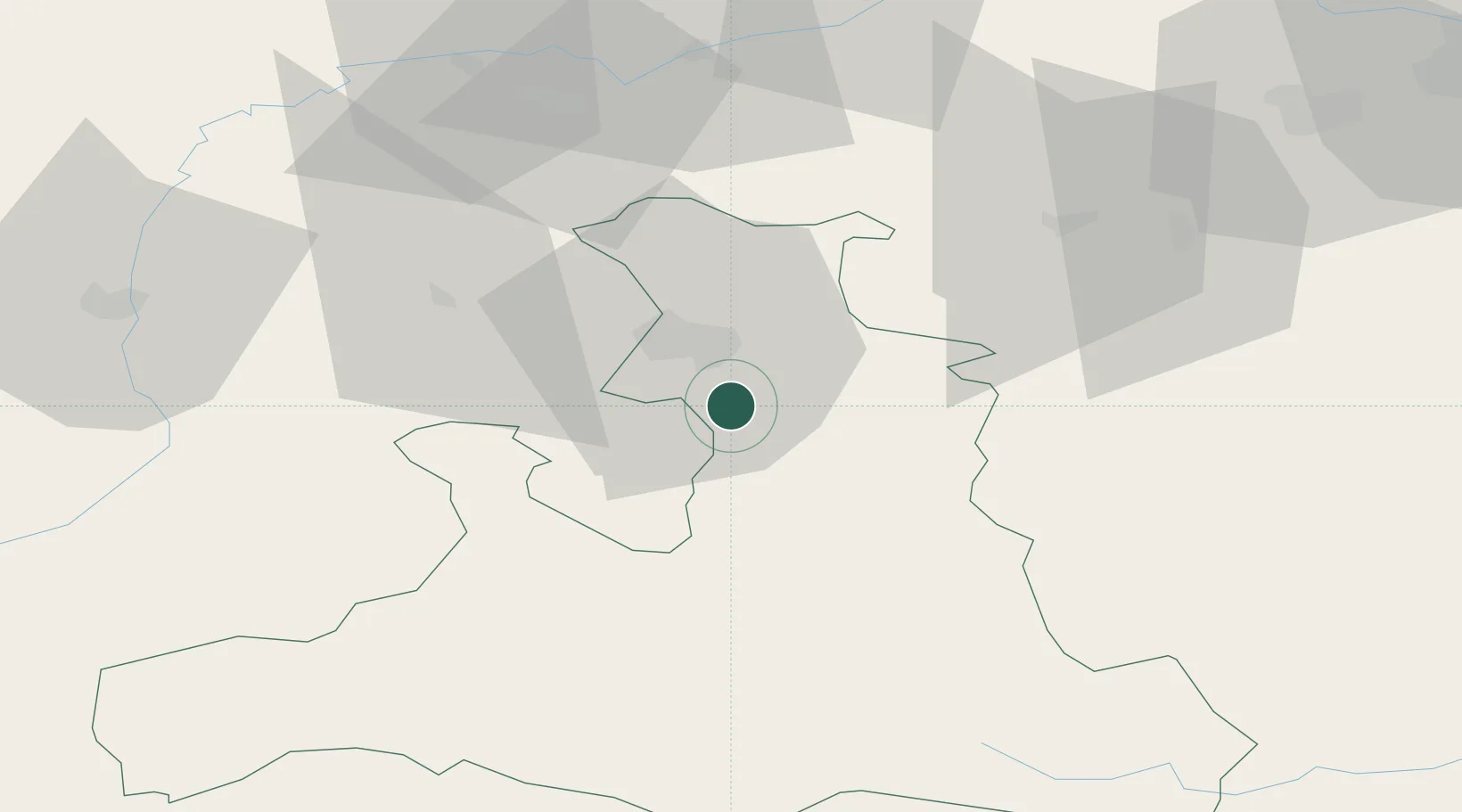
Place type
District seat
Region
Salzburg
Population
4,117
Time zone
Europe/Vienna
Elevation
450 m
Location
Nearby Logistics Neighbours
Cities
- 1Adnet3 km
- 2Marktschellenberg6 km
- 3Faistenau11 km
- 4Salzburg16 km
- 5Hammerau16 km
Ports
- 1Monfalcone216 km
- 2Nogaro216 km
- 3Grado223 km
- 4Trieste233 km
- 5Muggia239 km
Airports
- 1Salzburg Airport13 km
- 2Linz-Hörsching Airport101 km
- 3Landshut Airfield120 km
- 4Munich Airport122 km
- 5Hinterstoisser Air Base135 km
Trade Zones
- 1Freeport of Deggendorf128 km
- 2Free Port of Trieste234 km
- 3Free Port of Venice259 km
- 4Livigno Free Trade Zone262 km
- 5Krapina-Zagorje Free Zone272 km
DatabookThe Record of Consolidated Knowledge
Austria beyond logistics?