Transport Functions
Port
Road
Hub Profile
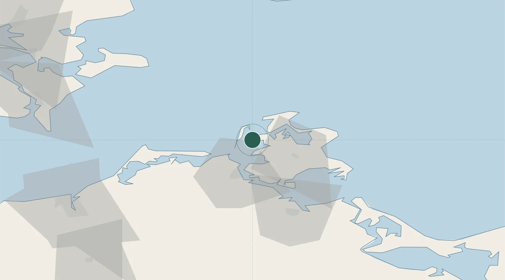
Place type
Populated place
Region
Mecklenburg-Vorpommern
Population
526
Time zone
Europe/Berlin
Elevation
4 m
Location
Nearby Logistics Neighbours
Cities
- 1Suhrendorf6 km
- 2Vitte (Hiddensee)7 km
- 3Altenkirchen (Rügen)17 km
- 4Benz25 km
- 5Marlow25 km
Airports
- 1Rostock-Laage Airport88 km
- 2Heringsdorf Airport96 km
- 3Neubrandenburg Trollenhagen Airport102 km
- 4Lolland Falster Maribo Airport113 km
- 5Malmö Sturup Airport114 km
Trade Zones
- 1Swinoujscie Duty Free Zone100 km
- 2MTS Malmö Transport and Spedition121 km
- 3Freeport of Copenhagen- Nordhavn138 km
- 4Szczecin Duty Free Zone153 km
- 5Freeport of Kiel195 km
DatabookThe Record of Consolidated Knowledge
Germany beyond logistics?