Transport Functions
Multimodal
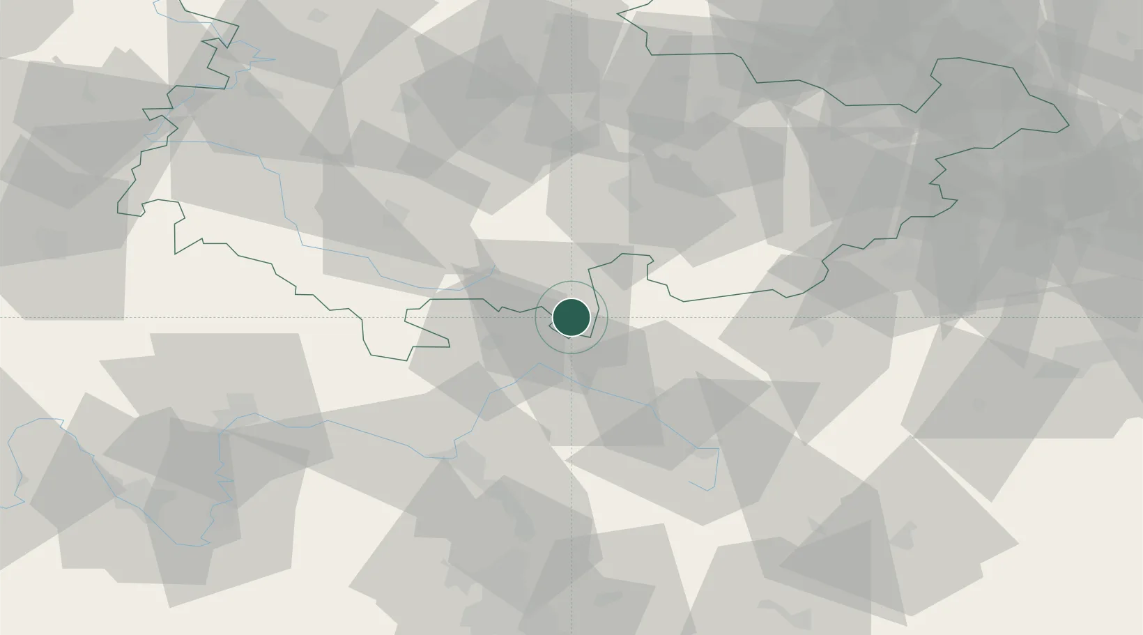
Hub Profile
Place type
Populated place
Region
Thuringia
Time zone
Europe/Berlin
Elevation
418 m
Location
Nearby Logistics Neighbours
Cities
- 1Heubisch3 km
- 2Pressig9 km
- 3Mengersgereuth-Hämmern10 km
- 4Steinach11 km
- 5Rauenstein13 km
Airports
- 1Hof-Plauen Airport47 km
- 2Bayreuth Airport50 km
- 3Bamberg-Breitenau Airfield50 km
- 4Erfurt-Weimar Airport74 km
- 5Grafenwöhr Army Air Field88 km
Trade Zones
DatabookThe Record of Consolidated Knowledge
Germany beyond logistics?