Transport Functions
Port
Rail
Road
Hub Profile
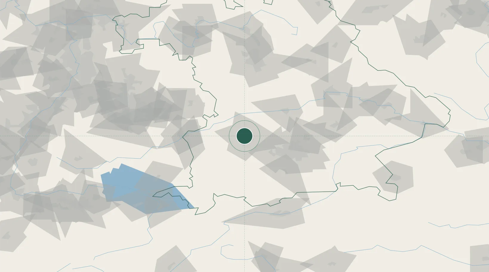
Place type
Provincial seat
Region
Bavaria
Population
259,196
Time zone
Europe/Berlin
Elevation
489 m
Logistics facilities
3
Location
Nearby Logistics Neighbours
Ports
- 1Nogaro341 km
- 2Porto Di Lido-Venezia352 km
- 3Grado352 km
- 4Monfalcone355 km
- 5Porto Di Chioggia368 km
Airports
- 1Augsburg Airport6 km
- 2Lechfeld Air Base24 km
- 3Altstetten Ultralight Field33 km
- 4Neuburg Air Base43 km
- 5Oberpfaffenhofen Airport47 km
Trade Zones
- 1Freeport of Deggendorf158 km
- 2Livigno Free Trade Zone215 km
- 3ZFU Neuhof230 km
- 4ZFU Hautepierre235 km
- 5ZFU Mulhouse272 km
DatabookThe Record of Consolidated Knowledge
Germany beyond logistics?