UN/LOCODE hub · Germany
DELSH

Limeshain

50.2500°, 86.5333°
2
Transport functions

Transport Functions

Port
Multimodal
UN/LOCODE

Hub Profile

Region
HE
GeoNames

Location

Location of DELSH
Natural Earth 10m (public domain) · HE · DELSH · 50.25, 86.53GoogleOSMYandex

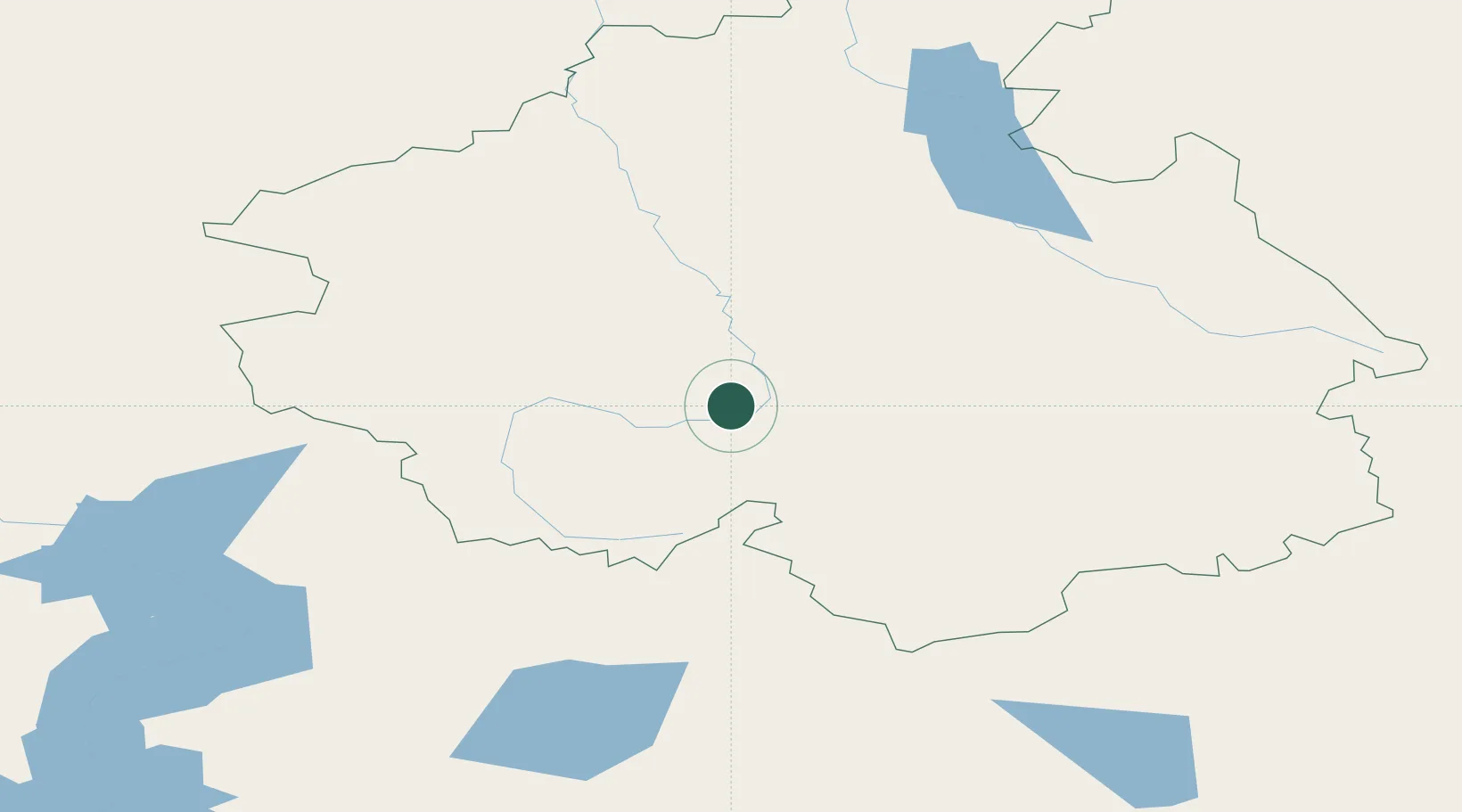
Nearby Logistics Neighbours

Cities
  1. 1Erbenheim251 km
  2. 2Altay289 km
  3. 3Löhnberg323 km
  4. 4Temirtau327 km
  5. 5Aleysk361 km
Nearest neighbours — logibook spatial index (haversine) over the source coordinates
Ports
  1. 1Igarka1914 km
  2. 2Dudinka2130 km
  3. 3Port Dikson2602 km
  4. 4Calcutta3084 km
  5. 5Mongla3101 km
Nearest neighbours — logibook spatial index (haversine) over the source coordinates
Airports
  1. 1Gorno-Altaysk Airport197 km
  2. 2Burqin Kanas Airport228 km
  3. 3Ölgii Mongolei International Airport281 km
  4. 4Oskemen International Airport289 km
  5. 5Altay Xuedu Airport300 km
Nearest neighbours — logibook spatial index (haversine) over the source coordinates
Trade Zones
  1. 1Turquoise Katun Tourism Zone156 km
  2. 2Altai Valley Special Economic Zone180 km
  3. 3Tsagaannuur Special Economic Zone239 km
  4. 4Fuhai Industrial Park353 km
  5. 5Heilongjiang Fuyun Industrial Park428 km
Nearest neighbours — logibook spatial index (haversine) over the source coordinates
DatabookThe Record of Consolidated Knowledge
Germany beyond logistics?
Browse databook

All Sources

LocationsUN/LOCODE
UN/LOCODE — free
Portsthe NGA World Port Index
Public domain (US gov)
AirportsOurAirports
Public domain
Trade Zonesthe World Bank SEZ database
CC BY 4.0
Trade ZonesOpen Zone Map
CC BY
← Germany locations