Transport Functions
Rail
Road
Hub Profile
Place type
Provincial seat
Region
Altai Krai
Population
28,019
Time zone
Asia/Barnaul
Elevation
180 m
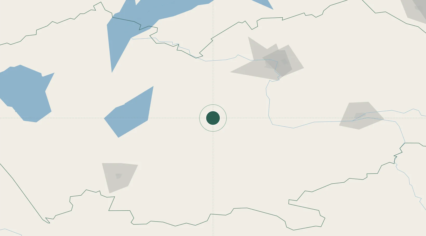
Location
Nearby Logistics Neighbours
Cities
- 1Werther21 km
- 2Zarinsk200 km
- 3Löhnberg223 km
- 4Waigandshain244 km
- 5Erbenheim267 km
Ports
- 1Igarka1678 km
- 2Dudinka1889 km
- 3Port Dikson2340 km
- 4Muhamamad Bin Qasim3344 km
- 5Karachi3355 km
Airports
- 1Barnaul Gherman Titov International Airport111 km
- 2Gorno-Altaysk Airport217 km
- 3Oskemen International Airport273 km
- 4Novosibirsk Tolmachevo Airport282 km
- 5Yeltsovka Airport291 km
Trade Zones
DatabookThe Record of Consolidated Knowledge
Russia beyond logistics?