Transport Functions
Multimodal
Hub Profile
Place type
Local administrative seat
Region
Hesse
Population
4,502
Time zone
Europe/Berlin
Elevation
147 m
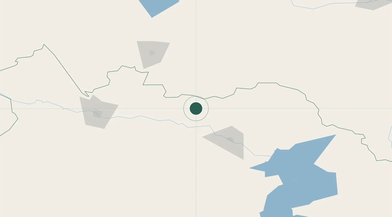
Location
Nearby Logistics Neighbours
Cities
- 1Waigandshain83 km
- 2Erbenheim88 km
- 3Aleysk223 km
- 4Werther244 km
- 5Gisikon268 km
Ports
- 1Igarka1899 km
- 2Dudinka2110 km
- 3Port Dikson2556 km
- 4Muhamamad Bin Qasim3129 km
- 5Karachi3140 km
Airports
- 1Oskemen International Airport66 km
- 2Semei International Airport127 km
- 3Zhangiztobe Air Base154 km
- 4Dolon Air Base198 km
- 5Kurchatov Airfield245 km
Trade Zones
DatabookThe Record of Consolidated Knowledge
Germany beyond logistics?