Medium airport · Russia

Gorno-Altaysk AirportUNBG
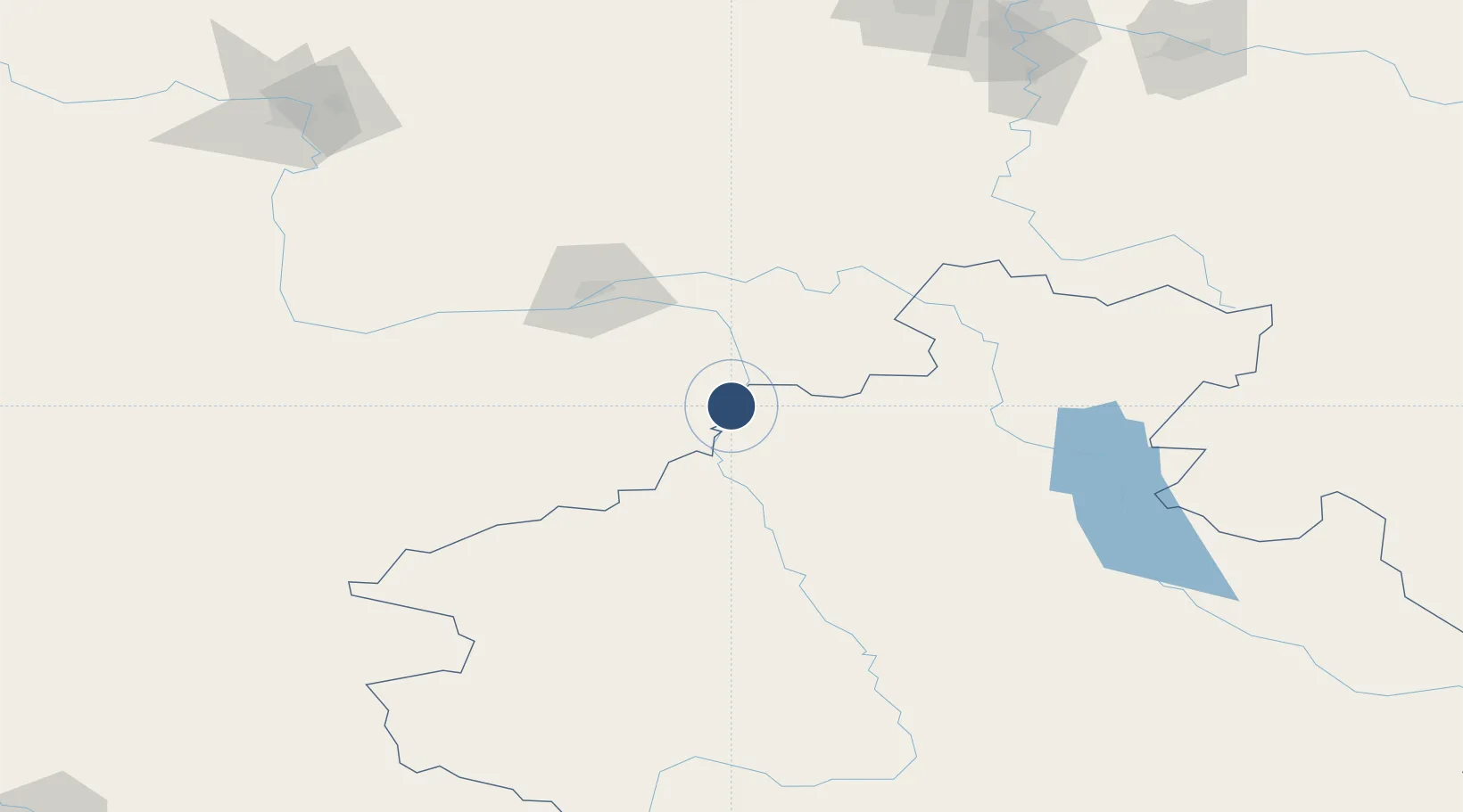
51.9692°, 85.8365°
7,546 ft
Longest runway
1
Runways
965 ft
Elevation

Runway & Layout

Gorno-Altaysk Airport runway & taxiway layout
Runway & taxiway layout — OpenStreetMap (ODbL) / OurAirports

Runways · 1

RunwayDimensions SurfaceTrue headingLit
02/20 7,546 × 138ft ASPHALT 025°
OurAirports

Airport Specifications

IATA code
RGK
OurAirports
ICAO code
UNBG
OurAirports
Airport class
Medium airport
OurAirports
Scheduled service
No
OurAirports
Runway surface
ASPHALT
OurAirports
Served city
Gorno-Altaysk
OurAirports

Location

Location of UNBG
Natural Earth 10m (public domain) · Gorno-Altay · UNBG · 51.97, 85.84GoogleOSMYandex

Nearby Logistics Neighbours

Airports
  1. 1Spichenkovo Airport216 km
  2. 2Barnaul Gherman Titov International Airport219 km
  3. 3Oskemen International Airport318 km
  4. 4Alexei Leonov Kemerovo International Airport368 km
  5. 5Yeltsovka Airport394 km
Nearest neighbours — logibook spatial index (haversine) over the source coordinates
Cities
  1. 1Temirtau169 km
  2. 2Limeshain197 km
  3. 3Zarinsk203 km
  4. 4Aleysk217 km
  5. 5Werther218 km
Nearest neighbours — logibook spatial index (haversine) over the source coordinates
Ports
  1. 1Igarka1723 km
  2. 2Dudinka1938 km
  3. 3Port Dikson2408 km
  4. 4Calcutta3278 km
  5. 5Mongla3296 km
Nearest neighbours — logibook spatial index (haversine) over the source coordinates
Trade Zones
  1. 1Altai Valley Special Economic Zone22 km
  2. 2Turquoise Katun Tourism Zone62 km
  3. 3Tsagaannuur Special Economic Zone386 km
  4. 4Tomsk Technology Innovative Special Economic Zone504 km
  5. 5Fuhai Industrial Park550 km
Nearest neighbours — logibook spatial index (haversine) over the source coordinates
DatabookThe Record of Consolidated Knowledge
Russia beyond logistics?
Browse databook

All Sources

AirportsOurAirports
Public domain
Portsthe NGA World Port Index
Public domain (US gov)
LocationsUN/LOCODE
UN/LOCODE — free
Trade Zonesthe World Bank SEZ database
CC BY 4.0
Trade ZonesOpen Zone Map
CC BY
InfrastructureOpenStreetMap
ODbL 1.0
← Russia airports