Transport Functions
Road
Multimodal
Hub Profile
Place type
Populated place
Region
Hesse
Time zone
Europe/Berlin
Elevation
150 m
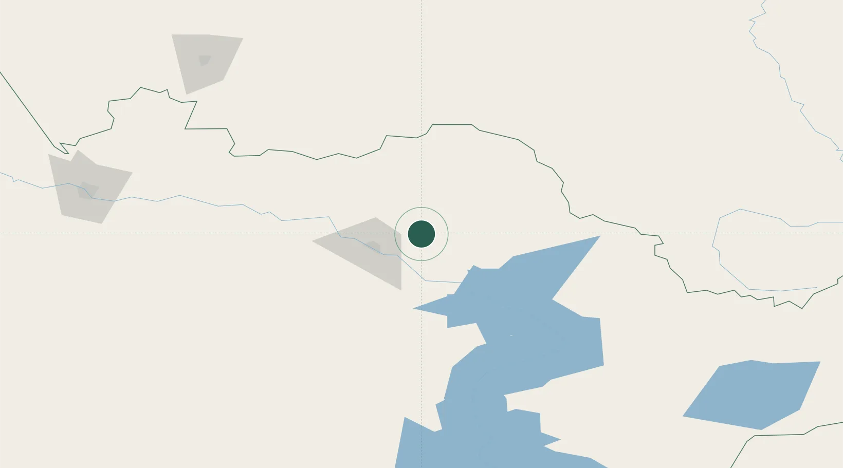
Location
Nearby Logistics Neighbours
Cities
- 1Löhnberg88 km
- 2Waigandshain167 km
- 3Gisikon215 km
- 4Limeshain251 km
- 5Aleysk267 km
Ports
- 1Igarka1942 km
- 2Dudinka2155 km
- 3Port Dikson2607 km
- 4Muhamamad Bin Qasim3122 km
- 5Karachi3134 km
Airports
- 1Oskemen International Airport38 km
- 2Zhangiztobe Air Base156 km
- 3Semei International Airport200 km
- 4Dolon Air Base276 km
- 5Gorno-Altaysk Airport288 km
Trade Zones
DatabookThe Record of Consolidated Knowledge
Germany beyond logistics?