Medium airport · Mongolia

Ölgii Mongolei International AirportZMUL
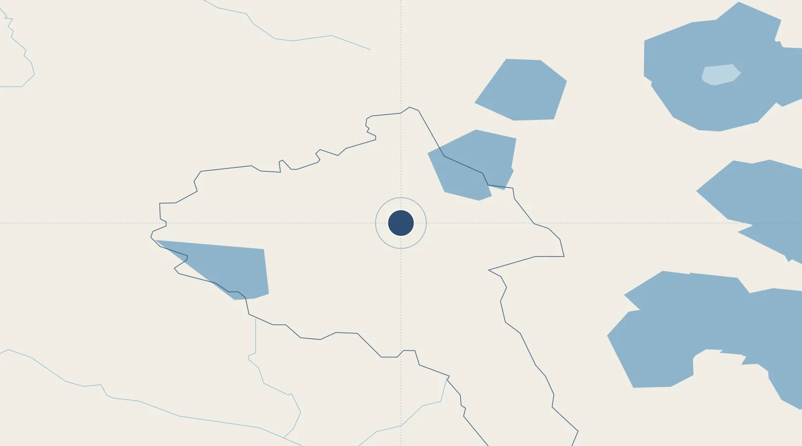
48.9933°, 89.9225°
7,874 ft
Longest runway
1
Runways
5,732 ft
Elevation

Runway & Layout

Ölgii Mongolei International Airport runway & taxiway layout
Runway & taxiway layout — OpenStreetMap (ODbL) / OurAirports

Runways · 1

RunwayDimensions SurfaceTrue headingLit
13/31 7,874 × —ft Unknown
OurAirports

Airport Specifications

IATA code
ULG
OurAirports
ICAO code
ZMUL
OurAirports
Airport class
Medium airport
OurAirports
Scheduled service
Yes
OurAirports
Runway surface
Unknown
OurAirports
Served city
Ölgii
OurAirports

Location

Location of ZMUL
Natural Earth 10m (public domain) · Bayan-Ölgiy · ZMUL · 48.99, 89.92GoogleOSMYandex

Nearby Logistics Neighbours

Airports
  1. 1Khovd Airport171 km
  2. 2Ulaangom Airport188 km
  3. 3Altay Xuedu Airport194 km
  4. 4Burqin Kanas Airport232 km
  5. 5Fuyun Koktokay Airport245 km
Nearest neighbours — logibook spatial index (haversine) over the source coordinates
Cities
  1. 1Bussnang161 km
  2. 2Altay183 km
  3. 3Limeshain281 km
  4. 4Temirtau492 km
  5. 5Elsdorf497 km
Nearest neighbours — logibook spatial index (haversine) over the source coordinates
Ports
  1. 1Igarka2062 km
  2. 2Dudinka2278 km
  3. 3Port Dikson2764 km
  4. 4Hankow2895 km
  5. 5Calcutta2944 km
Nearest neighbours — logibook spatial index (haversine) over the source coordinates
Trade Zones
  1. 1Tsagaannuur Special Economic Zone57 km
  2. 2Heilongjiang Fuyun Industrial Park229 km
  3. 3Fuhai Industrial Park260 km
  4. 4Turquoise Katun Tourism Zone422 km
  5. 5Altai Valley Special Economic Zone430 km
Nearest neighbours — logibook spatial index (haversine) over the source coordinates
DatabookThe Record of Consolidated Knowledge
Mongolia beyond logistics?
Browse databook

All Sources

AirportsOurAirports
Public domain
Portsthe NGA World Port Index
Public domain (US gov)
LocationsUN/LOCODE
UN/LOCODE — free
Trade Zonesthe World Bank SEZ database
CC BY 4.0
Trade ZonesOpen Zone Map
CC BY
InfrastructureOpenStreetMap
ODbL 1.0
← Mongolia airports