Transport Functions
Rail
Road
Hub Profile
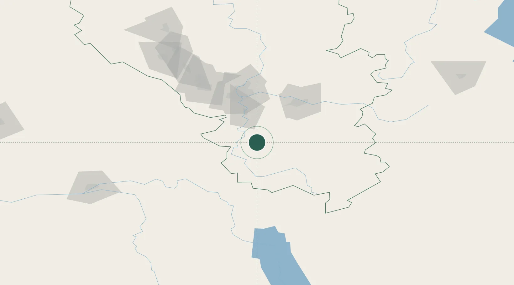
Place type
Populated place
Region
Kuzbass
Population
4,723
Time zone
Asia/Novokuznetsk
Elevation
466 m
Location
Nearby Logistics Neighbours
Cities
- 1Belovo160 km
- 2Zarinsk177 km
- 3Krasnoturansk301 km
- 4Kursk310 km
- 5Werther313 km
Ports
- 1Igarka1594 km
- 2Dudinka1810 km
- 3Port Dikson2288 km
- 4Tianjin Xin Gang2793 km
- 5Hankow3312 km
Airports
Trade Zones
DatabookThe Record of Consolidated Knowledge
Russia beyond logistics?