Transport Functions
Port
Road
Hub Profile
Place type
Local administrative seat
Region
Mecklenburg-Vorpommern
Time zone
Europe/Berlin
Elevation
13 m
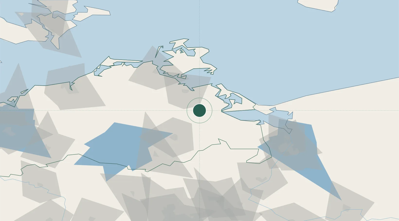
Location
Nearby Logistics Neighbours
Cities
- 1Rosenhagen18 km
- 2Lassan20 km
- 3Friedland22 km
- 4Usedom23 km
- 5Görmin24 km
Ports
- 1Wolgast25 km
- 2Swinoujscie46 km
- 3Stralsund59 km
- 4Sassnitz73 km
- 5Police74 km
Airports
Trade Zones
DatabookThe Record of Consolidated Knowledge
Germany beyond logistics?