Transport Functions
Multimodal
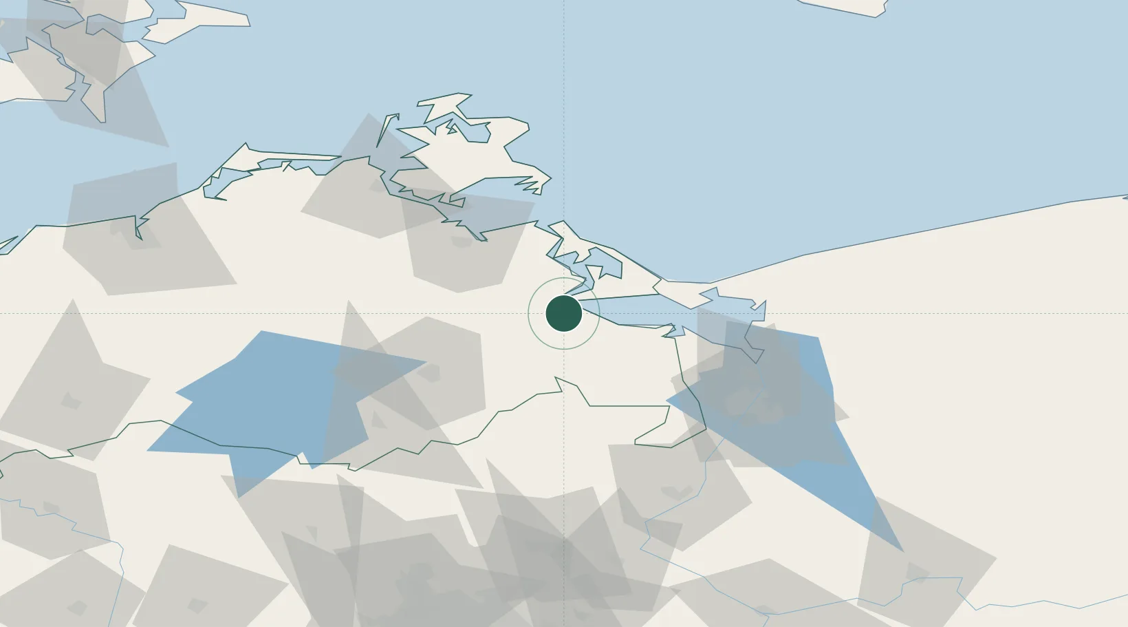
Hub Profile
Place type
Populated place
Region
Mecklenburg-Vorpommern
Time zone
Europe/Berlin
Elevation
1 m
Location
Nearby Logistics Neighbours
Cities
- 1Usedom10 km
- 2Grambin14 km
- 3Ferdinandshof16 km
- 4Liepgarten16 km
- 5Lassan17 km
Ports
- 1Wolgast28 km
- 2Swinoujscie32 km
- 3Police56 km
- 4Szczecin65 km
- 5Stralsund74 km
Airports
Trade Zones
- 1Swinoujscie Duty Free Zone32 km
- 2Szczecin Duty Free Zone65 km
- 3Kostrzyń-Słubice SEZ145 km
- 4MTS Malmö Transport and Spedition206 km
- 5Słupsk SEZ (Słupska SSE)222 km
DatabookThe Record of Consolidated Knowledge
Germany beyond logistics?