UN/LOCODE hub · Germany
DELNS

Laufen (Salzach)

47.9333°, 12.9333°
1
Transport functions

Transport Functions

Multimodal
UN/LOCODE

Hub Profile

Region
BY
GeoNames

Location

Location of DELNS
Natural Earth 10m (public domain) · BY · DELNS · 47.93, 12.93GoogleOSMYandex

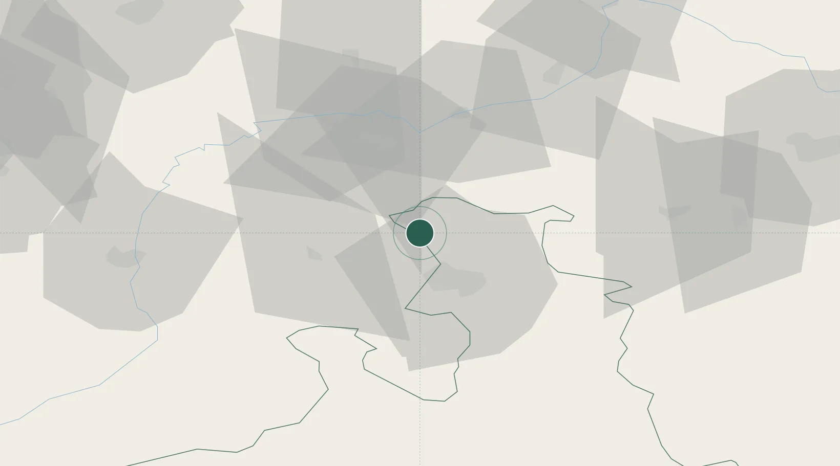
Nearby Logistics Neighbours

Cities
  1. 1Berg (Traunstein)6 km
  2. 2Sankt Georgen bei Salzburg7 km
  3. 3Kirchanschoeng8 km
  4. 4Anthering10 km
  5. 5Obertrum am See10 km
Nearest neighbours — logibook spatial index (haversine) over the source coordinates
Ports
  1. 1Nogaro242 km
  2. 2Monfalcone244 km
  3. 3Grado250 km
  4. 4Trieste261 km
  5. 5Muggia267 km
Nearest neighbours — logibook spatial index (haversine) over the source coordinates
Airports
  1. 1Salzburg Airport16 km
  2. 2Landshut Airfield93 km
  3. 3Munich Airport97 km
  4. 4Linz-Hörsching Airport99 km
  5. 5Oberpfaffenhofen Airport124 km
Nearest neighbours — logibook spatial index (haversine) over the source coordinates
Trade Zones
  1. 1Freeport of Deggendorf102 km
  2. 2Podbořany Industrial Zone258 km
  3. 3Free Port of Trieste262 km
  4. 4Livigno Free Trade Zone265 km
  5. 5Světlá nad Sázavou Municipal Industrial Zone265 km
Nearest neighbours — logibook spatial index (haversine) over the source coordinates
DatabookThe Record of Consolidated Knowledge
Germany beyond logistics?
Browse databook

All Sources

LocationsUN/LOCODE
UN/LOCODE — free
Portsthe NGA World Port Index
Public domain (US gov)
AirportsOurAirports
Public domain
Trade Zonesthe World Bank SEZ database
CC BY 4.0
Trade ZonesOpen Zone Map
CC BY
← Germany locations