UN/LOCODE hub · Germany
DEKXN

Kirchanschoeng

47.9500°, 12.8333°
1
Transport functions

Transport Functions

Multimodal
UN/LOCODE

Hub Profile

Region
BY
GeoNames

Location

Location of DEKXN
Natural Earth 10m (public domain) · BY · DEKXN · 47.95, 12.83GoogleOSMYandex

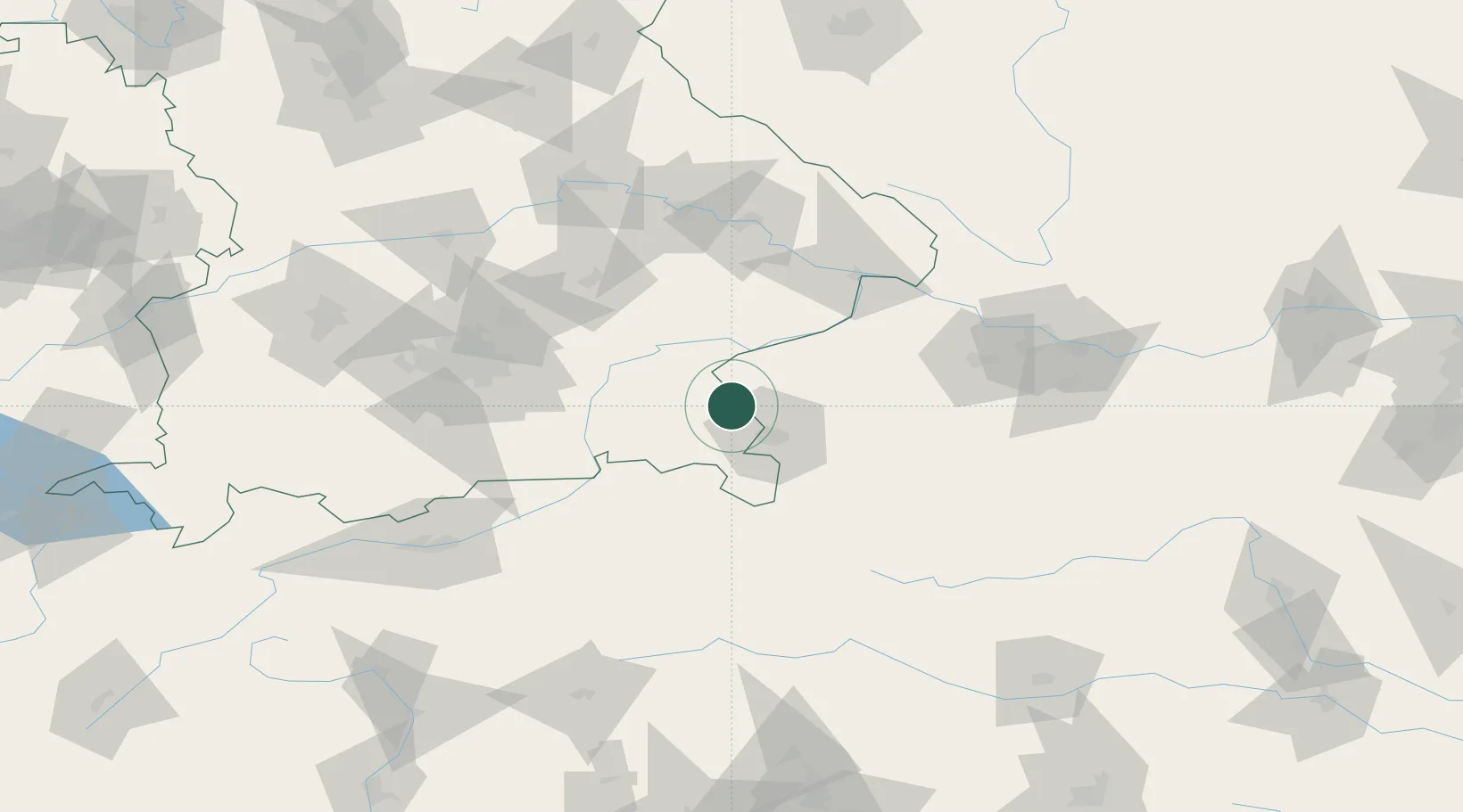
Nearby Logistics Neighbours

Cities
  1. 1Berg (Traunstein)3 km
  2. 2Sankt Georgen bei Salzburg5 km
  3. 3Laufen (Salzach)8 km
  4. 4Ostermiething11 km
  5. 5Moosdorf16 km
Nearest neighbours — logibook spatial index (haversine) over the source coordinates
Ports
  1. 1Nogaro245 km
  2. 2Monfalcone247 km
  3. 3Grado253 km
  4. 4Trieste265 km
  5. 5Muggia271 km
Nearest neighbours — logibook spatial index (haversine) over the source coordinates
Airports
  1. 1Salzburg Airport22 km
  2. 2Landshut Airfield86 km
  3. 3Munich Airport90 km
  4. 4Linz-Hörsching Airport106 km
  5. 5Oberpfaffenhofen Airport116 km
Nearest neighbours — logibook spatial index (haversine) over the source coordinates
Trade Zones
  1. 1Freeport of Deggendorf100 km
  2. 2Podbořany Industrial Zone257 km
  3. 3Livigno Free Trade Zone260 km
  4. 4Free Port of Trieste266 km
  5. 5Světlá nad Sázavou Municipal Industrial Zone269 km
Nearest neighbours — logibook spatial index (haversine) over the source coordinates
DatabookThe Record of Consolidated Knowledge
Germany beyond logistics?
Browse databook

All Sources

LocationsUN/LOCODE
UN/LOCODE — free
Portsthe NGA World Port Index
Public domain (US gov)
AirportsOurAirports
Public domain
Trade Zonesthe World Bank SEZ database
CC BY 4.0
Trade ZonesOpen Zone Map
CC BY
← Germany locations