Transport Functions
Rail
Road
Hub Profile
Region
NI
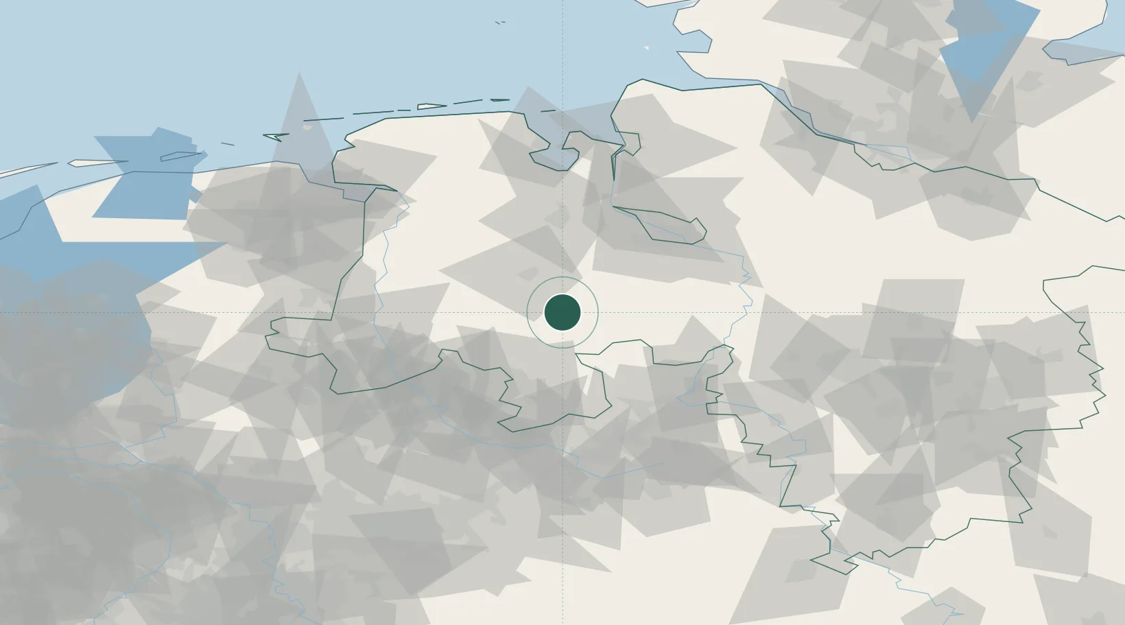
Location
Nearby Logistics Neighbours
Cities
- 1Diepholz12 km
- 2Langförden13 km
- 3Drebber14 km
- 4Addrup16 km
- 5Lembruch17 km
Airports
- 1Diepholz Air Base12 km
- 2Bremen Airport56 km
- 3Münster Osnabrück Airport70 km
- 4Bückeburg Air Base72 km
- 5Bielefeld Airport81 km
Trade Zones
DatabookThe Record of Consolidated Knowledge
Germany beyond logistics?